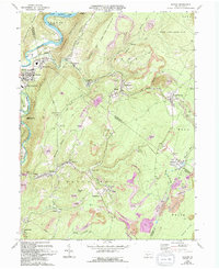
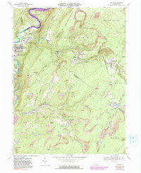
1968 Map of Saxton
USGS Topo · Published 1994About this map
The Juniata River Raystown Branch carves a winding path through the northern reach of this landscape, feeding into Raystown Lake. The settlement of Saxton serves as a primary hub for this region, flanked by East Saxton, Shoup, and Puttstown. The map reveals an extensive history of resource extraction, with numerous Reclaimed Strip Mines and active Strip Mines peppering the slopes of Saxton Mountain and the Broad Top region.
Find a feature on this map
75 named features on this map. Tap any name to fly to it.
Don’t see what you’re looking for? This feature index may not catch every label — zoom into the map to look around manually.
Map Details
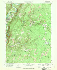
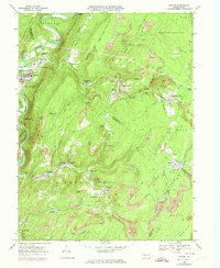
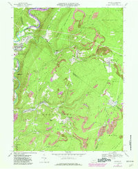
Editions of this 1968 Saxton Map
5 editions found
Other maps of this area

1900 · Everett
USGS Topo · 1:62,500

1901 · Huntingdon
USGS Topo · 1:62,500

1902 · Everett
USGS Topo · 1:62,500

1902 · Hollidaysburg
USGS Topo · 1:62,500

1903 · Hollidaysburg
USGS Topo · 1:62,500

1904 · Huntingdon
USGS Topo · 1:62,500

1930 · Broad Top
USGS Topo · 1:62,500

1933 · Broad Top
USGS Topo · 1:62,500

1953 · Pittsburgh
USGS Topo · 1:250,000

1954 · Pittsburgh
USGS Topo · 1:250,000