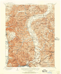
1911 Map of Sciotoville
USGS Topo · Published 1956About this map
The Scioto River valley serves as a primary corridor for transportation and industry at the time of this survey, where the Norfolk and Western Ry and Baltimore and Ohio Southwestern RR navigate the winding terrain of southern Ohio. Industrial sites like Harrison Furnace and the Star Brickyard near Sciotoville highlight the region's reliance on local natural resources, while Harrison Mills and Wallace Mills point to a rural economy driven by water-powered milling along the Little Scioto River.
Find a feature on this map
125 named features on this map. Tap any name to fly to it.
Don’t see what you’re looking for? This feature index may not catch every label — zoom into the map to look around manually.
Map Details
Editions of this 1911 Sciotoville Map
2 editions found
Other maps of this area

1898 · Ironton
USGS Topo · 1:62,500

1900 · Ironton
USGS Topo · 1:62,500

1906 · Waverly
USGS Topo · 1:62,500

1908 · Waverly
USGS Topo · 1:62,500

1911 · Sciotoville
USGS Topo · 1:62,500

1912 · Oak Hill
USGS Topo · 1:62,500

1913 · Sciotoville
USGS Topo · 1:62,500

1913 · Jackson
USGS Topo · 1:62,500

1915 · Garrison
USGS Topo · 1:62,500

1915 · Otway
USGS Topo · 1:62,500