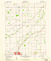
1960 Map of Scott
USGS Topo · Published 1961About this map
The village of Scott straddles the Paulding and Van Wert county line, serving as a focal point for this agrarian landscape defined by the Congress Lands surveying system. The map reveals a meticulous grid of rural routes, including family-named roads like Brown Road and Feasby Road, which connect isolated farmsteads to local landmarks such as Grand Victory Ch and several small burying grounds like Mohr Cem and Taylor Cem.
Find a feature on this map
61 named features on this map. Tap any name to fly to it.
Don’t see what you’re looking for? This feature index may not catch every label — zoom into the map to look around manually.
Map Details
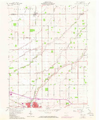
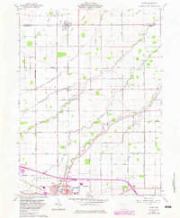
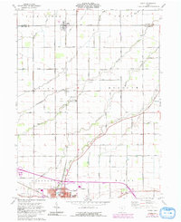
Editions of this 1960 Scott Map
4 editions found
Other maps of this area

1909 · Continental
USGS Topo · 1:62,500

1911 · Delphos
USGS Topo · 1:62,500

1914 · Van Wert
USGS Topo · 1:62,500

1914 · Paulding
USGS Topo · 1:62,500

1944 · Delphos
USGS Topo · 1:62,500

1944 · Van Wert
USGS Topo · 1:62,500

1944 · Paulding
USGS Topo · 1:62,500

1953 · Fort Wayne
USGS Topo · 1:250,000

1953 · Muncie
USGS Topo · 1:250,000

1956 · Muncie
USGS Topo · 1:250,000