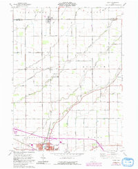
1960 Map of Scott
USGS Topo · Published 1992About this map
Scott sits at the northern edge of this agricultural landscape, straddling the county line amid a dense network of country roads and drainage creeks. The terrain is defined by the headwaters of numerous waterways, including Blue Creek, Pottawatomie Creek, and Town Creek, which dictate the positioning of farmsteads and rural cemeteries such as Oakland Cem and Mohr Cem. To the south, the city of Van Wert serves as the regional hub, showing the development of local education at Anthony Wayne Sch and Horace Mann Sch. The influence of the railroad is clear as the Conrail line cuts through the southern developed area, while smaller hamlets like Cavett appear as quiet clusters at rural intersections. These patterns of settlement and water management illustrate the mid-20th-century transition of the Ohio prairie into a highly organized agricultural and industrial corridor.
Find a feature on this map
58 named features on this map. Tap any name to fly to it.
Don’t see what you’re looking for? This feature index may not catch every label — zoom into the map to look around manually.
Map Details
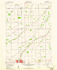
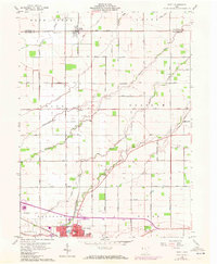
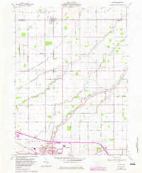
Editions of this 1960 Scott Map
4 editions found
Other maps of this area

1909 · Continental
USGS Topo · 1:62,500

1911 · Delphos
USGS Topo · 1:62,500

1914 · Van Wert
USGS Topo · 1:62,500

1914 · Paulding
USGS Topo · 1:62,500

1944 · Delphos
USGS Topo · 1:62,500

1944 · Van Wert
USGS Topo · 1:62,500

1944 · Paulding
USGS Topo · 1:62,500

1953 · Fort Wayne
USGS Topo · 1:250,000

1953 · Muncie
USGS Topo · 1:250,000

1956 · Muncie
USGS Topo · 1:250,000