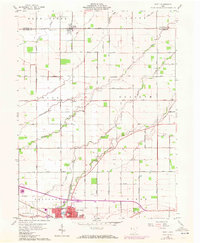
1960 Map of Scott
USGS Topo · Published 1972About this map
Van Wert anchors the southern portion of this landscape, showing a period of 1970s revision that highlights urban expansion and modern infrastructure like the Sewage Disposal plant. The map traces the transition from the city’s grid, including Bonnewitz Ave, into the surrounding agricultural townships of Hoaglin, Pleasant, and Ridge. The area is defined by a dense network of country roads named for local families and landmarks, such as Feasby Road and Sugar Grove Road. These routes connect small rural centers like Scott and Cavett, which were historically vital nodes along the Penn Central rail line. Local history and genealogy interest is concentrated in the numerous small burial grounds and rural parishes, including Oakland Cem, Taylor Cem, and the Grand Victory Ch, which dot the terrain between slow-moving waterways like Hoaglin Creek and Maddox Creek.
Find a feature on this map
52 named features on this map. Tap any name to fly to it.
Don’t see what you’re looking for? This feature index may not catch every label — zoom into the map to look around manually.
Map Details
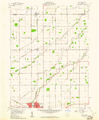
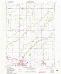
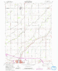
Editions of this 1960 Scott Map
4 editions found
Other maps of this area

1909 · Continental
USGS Topo · 1:62,500

1911 · Delphos
USGS Topo · 1:62,500

1914 · Van Wert
USGS Topo · 1:62,500

1914 · Paulding
USGS Topo · 1:62,500

1944 · Delphos
USGS Topo · 1:62,500

1944 · Van Wert
USGS Topo · 1:62,500

1944 · Paulding
USGS Topo · 1:62,500

1953 · Fort Wayne
USGS Topo · 1:250,000

1953 · Muncie
USGS Topo · 1:250,000

1956 · Muncie
USGS Topo · 1:250,000