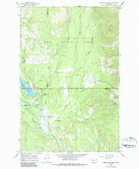
1965 Map of Seeley Lake East
USGS Topo · Published 1987About this map
Seeley Lake serves as the focal point of this western Montana landscape, situated at the boundary of the Lolo National Forest and the Clearwater State Forest. The mid-1960s survey captures a community shaped by its proximity to the water and the timbered hills of the Missoula and Powell county line. Local education and infrastructure are anchored by the Seeley-Swan High Sch and the Seeley Lake Landing Strip, while recreational interests are evident at the Big Larch Campground and the surrounding Seeley Lake Game Preserve. The Clearwater River and several tributaries, including Morrell Creek and Rice Creek, define the drainage patterns of this mountain valley. The presence of the Double Arrow Ranch south of the primary settlement suggests the area's ongoing blend of residential growth and traditional ranching life during this era.
Find a feature on this map
24 named features on this map. Tap any name to fly to it.
Don’t see what you’re looking for? This feature index may not catch every label — zoom into the map to look around manually.
Map Details
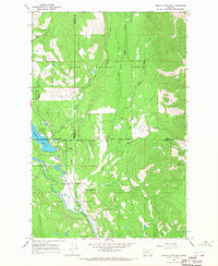
Editions of this 1965 Seeley Lake East Map
2 editions found
Other maps of this area

1902 · Ovando
USGS Topo · 1:125,000

1905 · Ovando
USGS Topo · 1:125,000

1921 · Elbow Lake
USGS Topo · 1:125,000

1955 · Choteau
USGS Topo · 1:250,000

1957 · Choteau
USGS Topo · 1:250,000

1958 · Choteau
USGS Topo · 1:250,000

1962 · Choteau
USGS Topo · 1:250,000
1965 · Woodworth
USGS Topo · 1:24,000

1965 · Morrell Mountain
USGS Topo · 1:24,000

1965 · Seeley Lake West
USGS Topo · 1:24,000