
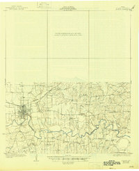
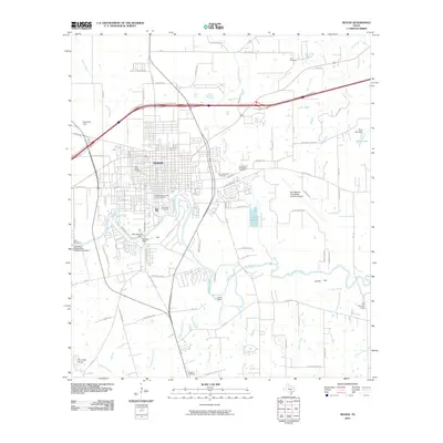
1985 Map of Seguin
USGS Topo · Published 1986About this map
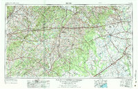
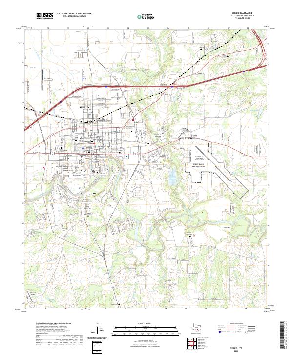
The Salt Flat Oil Field and Luling Oil Field define the industrial landscape of central Texas in the mid-1980s, marking a region where petroleum extraction and agriculture coexist. This survey captures a network of major transportation corridors, including Interstate 10 and Interstate 35, which link established hubs like San Marcos, Lockhart, and Seguin. The terrain is characterized by the winding paths of the Guadalupe River and San Marcos River, alongside leisure and conservation spaces such as Palmetto State Park and Lockhart State Park.
Find a feature on this map
144 named features on this map. Tap any name to fly to it.
Don’t see what you’re looking for? This feature index may not catch every label — zoom into the map to look around manually.
Map Details
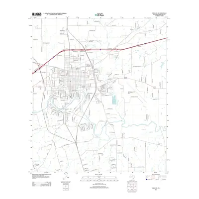
Editions of this 1985 Seguin Map
2 editions found
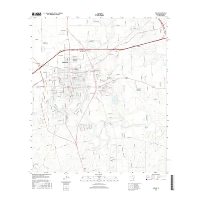
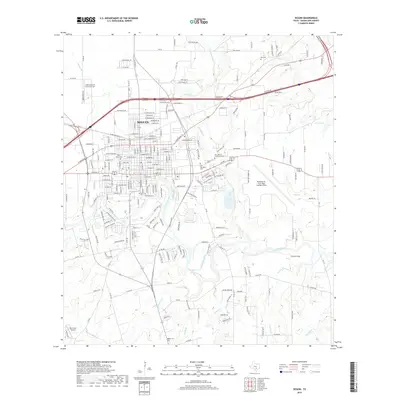
Historical Maps of San Marcos Through Time
10 maps found
1930 Seguin
Guadalupe County, TX
1953 Seguin
Guadalupe County, TX

1958 Seguin
Guadalupe County, TX
1964 Seguin
Guadalupe County, TX
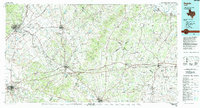
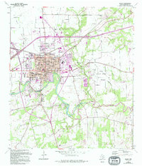
1985 Seguin
Guadalupe County, TX
2010 Seguin
Guadalupe County, TX
2013 Seguin
Guadalupe County, TX
2016 Seguin
Guadalupe County, TX
2019 Seguin
Guadalupe County, TX
2022 Seguin
Guadalupe County, TX