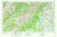
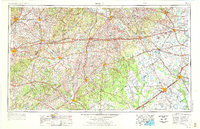
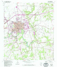
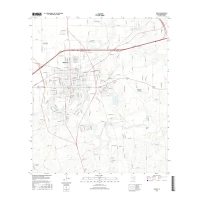
1953 Map of Seguin
USGS Topo · Published 1973About this map
The San Marcos River and Guadalupe River converge in this mid-century portrait of south-central Texas, a landscape defined by its fertile river valleys and the expanding infrastructure of the post-war era. Significant transportation corridors, including U S 90 and the Southern Pacific railroad, bridge the distances between established agricultural hubs like Gonzales, Luling, and Cuero. The presence of Gary AAF north of San Marcos highlights the region's mid-century military footprint, while the wooded breaks of the Gapote Hills contrast with the open prairies near El Campo. In the eastern reaches, the Colorado River winds past Stephen F. Austin State Park and Columbus, anchoring a region where the Gulf Colorado and Santa Fe rail lines supported a thriving inland economy long before modern interstate expansion.
Find a feature on this map
51 named features on this map. Tap any name to fly to it.
Don’t see what you’re looking for? This feature index may not catch every label — zoom into the map to look around manually.
Map Details
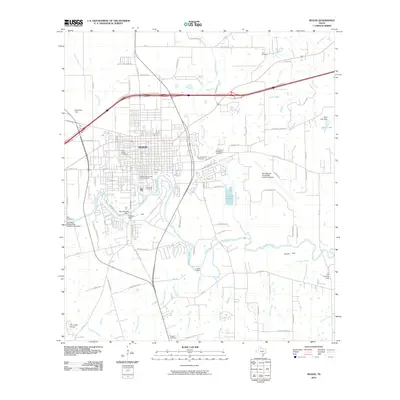
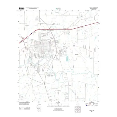
Editions of this 1953 Seguin Map
4 editions found

Historical Maps of San Marcos Through Time
10 maps found
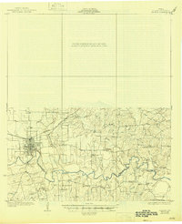
1930 Seguin
Guadalupe County, TX
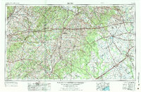
1953 Seguin
Guadalupe County, TX

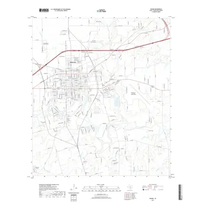
1958 Seguin
Guadalupe County, TX
1964 Seguin
Guadalupe County, TX
1985 Seguin
Guadalupe County, TX
2010 Seguin
Guadalupe County, TX
2013 Seguin
Guadalupe County, TX
2016 Seguin
Guadalupe County, TX
2019 Seguin
Guadalupe County, TX
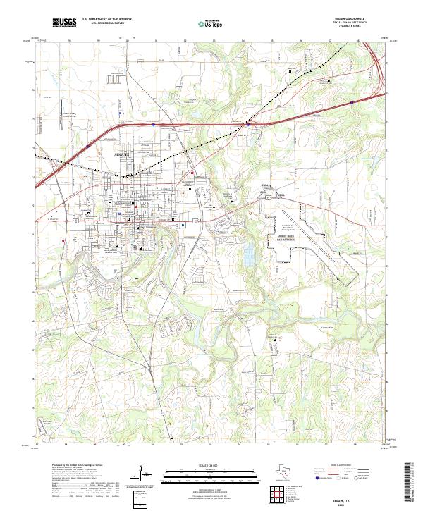
2022 Seguin
Guadalupe County, TX