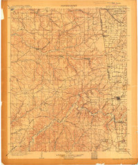
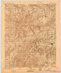
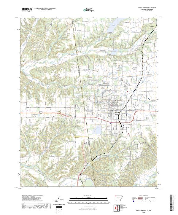
1904 Map of Siloam Springs
USGS Topo · Published 1904About this map
The borderlands of the Cherokee Nation and Arkansas are captured here during a pivotal era of late territorial development. Just years before Oklahoma statehood, this survey documents a landscape defined by the transition from open prairie to established township. Significant settlements like Siloam Springs and Cherokee City anchor the eastern edge, while the interior is dotted with remote outposts such as Shoaps Store, Eucha, and Chloeta.
Find a feature on this map
74 named features on this map. Tap any name to fly to it.
Don’t see what you’re looking for? This feature index may not catch every label — zoom into the map to look around manually.
Map Details
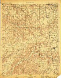
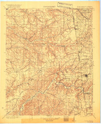
Editions of this 1904 Siloam Springs Map
7 editions found

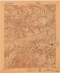
Historical Maps of Siloam Springs Through Time
9 maps found

1899 Siloam Springs
Benton County, AR

1903 Siloam Springs
Benton County, AR

1904 Siloam Springs
Benton County, AR
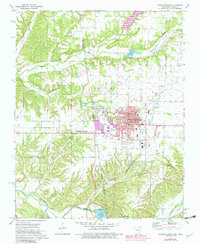
1972 Siloam Springs
Benton County, AR
2011 Siloam Springs
Benton County, AR
2014 Siloam Springs
Benton County, AR
2017 Siloam Springs
Benton County, AR
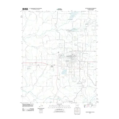
2020 Siloam Springs
Benton County, AR
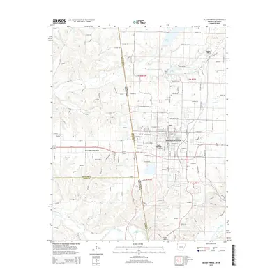
2024 Siloam Springs
Benton County, AR