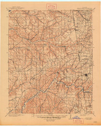
1904 Map of Siloam Springs
USGS Topo · Published 1948About this map
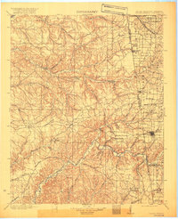
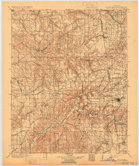
Siloam Springs anchors this detailed survey of the rugged borderlands where the Ozark plateau meets the Arkansas and Oklahoma territories. Surveyed at the end of the 19th century, the map captures a transition point in history as the Cherokee Nation boundary still clearly separates the western half of the sheet from Benton Co and Washington Co. The landscape is a mix of high prairies and deep hollows, with settlements like Maysville, Cincinnati, and Kansas connected by early wagon roads before the widespread expansion of the rail network.
Find a feature on this map
77 named features on this map. Tap any name to fly to it.
Don’t see what you’re looking for? This feature index may not catch every label — zoom into the map to look around manually.
Map Details
Editions of this 1904 Siloam Springs Map
7 editions found

Other maps of this area

1896 · Pryor
USGS Topo · 1:125,000

1898 · Tahlequah
USGS Topo · 1:125,000

1898 · Winslow
USGS Topo · 1:125,000

1899 · Fayetteville
USGS Topo · 1:125,000

1899 · Siloam Springs
USGS Topo · 1:125,000

1901 · Muscogee
USGS Topo · 1:125,000

1901 · Winslow
USGS Topo · 1:125,000

1901 · Vinita
USGS Topo · 1:125,000

1901 · Pryor
USGS Topo · 1:125,000

1901 · Fayetteville
USGS Topo · 1:125,000