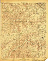
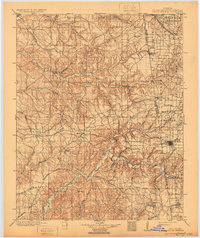
1904 Map of Siloam Springs
USGS Topo · Published 1904About this map
Siloam Springs anchors the eastern edge of this late 19th-century survey, situated at the intersection of the Kansas City Southern Ry and the rugged landscapes of the Cherokee Nation. The boundary between Arkansas and the Indian Territory splits the region, revealing a patchwork of named prairies such as Elkhorn Prairie and Moseley Prairie interspersed with deep hollows like Tahlequah Hollow.
Find a feature on this map
94 named features on this map. Tap any name to fly to it.
Don’t see what you’re looking for? This feature index may not catch every label — zoom into the map to look around manually.
Map Details
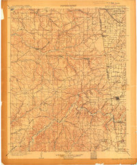
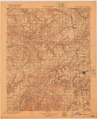
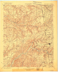
Editions of this 1904 Siloam Springs Map
7 editions found

Historical Maps of Siloam Springs Through Time
9 maps found

1899 Siloam Springs
Benton County, AR

1903 Siloam Springs
Benton County, AR

1904 Siloam Springs
Benton County, AR
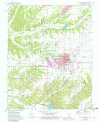
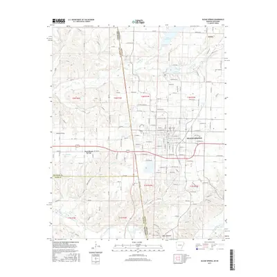
1972 Siloam Springs
Benton County, AR
2011 Siloam Springs
Benton County, AR
2014 Siloam Springs
Benton County, AR
2017 Siloam Springs
Benton County, AR
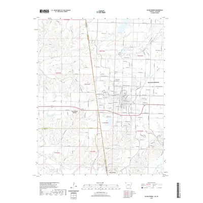
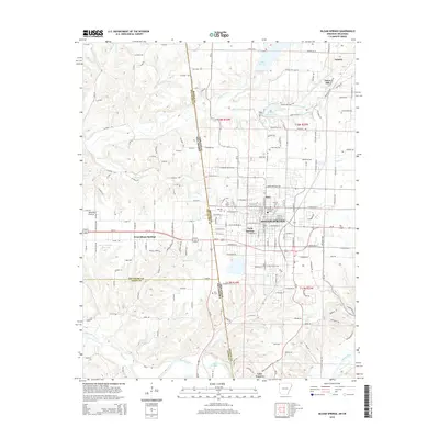
2020 Siloam Springs
Benton County, AR
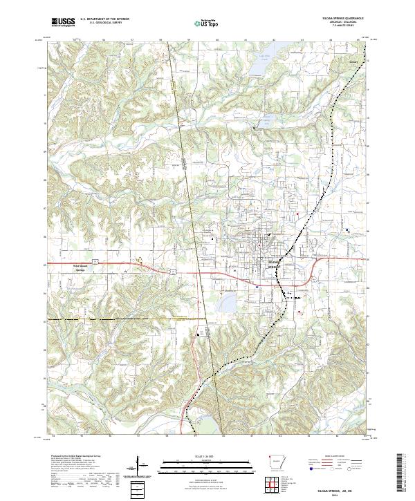
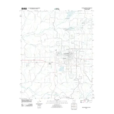
2024 Siloam Springs
Benton County, AR