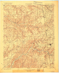
1904 Map of Siloam Springs
USGS Topo · Published 1920About this map
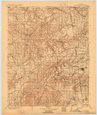
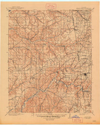
The Indian Territory-Arkansas borderland comes to life in this survey, showcasing a landscape defined by its sprawling prairie systems and the deep hollows of the Illinois River watershed. Siloam Springs anchors the eastern edge, serving as a hub where the Kansas City Southern railway meets the spring-fed waters of Sager Creek. To the west, the transition into the Cherokee Nation is marked by a network of vanished prairie settlements like Ulm, Leach, and Zena, reflecting the agricultural character of Elkhorn Prairie and Long Prairie before larger-scale development transformed the region.
Find a feature on this map
67 named features on this map. Tap any name to fly to it.
Don’t see what you’re looking for? This feature index may not catch every label — zoom into the map to look around manually.
Map Details
Editions of this 1904 Siloam Springs Map
7 editions found

Other maps of this area

1896 · Pryor
USGS Topo · 1:125,000

1898 · Tahlequah
USGS Topo · 1:125,000

1898 · Winslow
USGS Topo · 1:125,000

1899 · Fayetteville
USGS Topo · 1:125,000

1899 · Siloam Springs
USGS Topo · 1:125,000

1901 · Muscogee
USGS Topo · 1:125,000

1901 · Winslow
USGS Topo · 1:125,000

1901 · Vinita
USGS Topo · 1:125,000

1901 · Pryor
USGS Topo · 1:125,000

1901 · Fayetteville
USGS Topo · 1:125,000