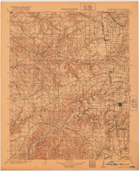
1904 Map of Siloam Springs
USGS Topo · Published 1920About this map
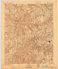
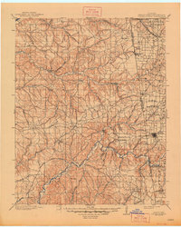
The Benton Co Cherokee Nation boundary defines the central axis of this landscape, marking the transition from the Ozark plateau into Indian Territory at the end of the nineteenth century. The settlement at Siloam Springs anchors the eastern edge, while the interior is characterized by a series of named grasslands such as Wet Prairie and Elkhorn Prairie. These open stretches are bisected by significant watercourses including Spavinaw Creek and the Illinois River, which historically dictated the movement of goods and travelers before the full expansion of the rail networks.
Find a feature on this map
58 named features on this map. Tap any name to fly to it.
Don’t see what you’re looking for? This feature index may not catch every label — zoom into the map to look around manually.
Map Details
Editions of this 1904 Siloam Springs Map
7 editions found

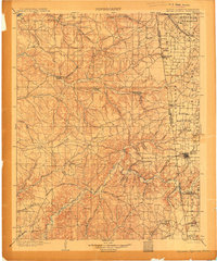
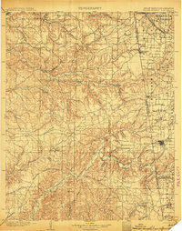
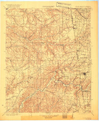
Other maps of this area

1896 · Pryor
USGS Topo · 1:125,000

1898 · Tahlequah
USGS Topo · 1:125,000

1898 · Winslow
USGS Topo · 1:125,000

1899 · Fayetteville
USGS Topo · 1:125,000

1899 · Siloam Springs
USGS Topo · 1:125,000

1901 · Muscogee
USGS Topo · 1:125,000

1901 · Winslow
USGS Topo · 1:125,000

1901 · Vinita
USGS Topo · 1:125,000

1901 · Pryor
USGS Topo · 1:125,000

1901 · Fayetteville
USGS Topo · 1:125,000