
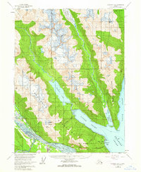
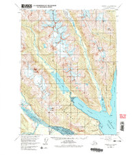
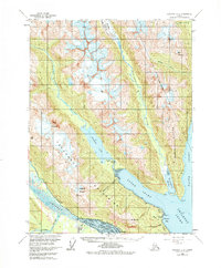
1954 Map of Skagway B-2
USGS Topo · Published 1959About this map
Glacial valleys and deep fjords dominate this coastal terrain, where the Chilkat River and Chilkoot River systems converge near the head of the Lynn Canal. In the mid-1950s, the area's infrastructure was anchored by the Haines Highway and a Pipeline corridor running near the Yindastuki Indian Res. Small settlements and seasonal outposts like Chilkoot and Tanani sit perched along the shores of Chilkoot Lake and Tanani Bay, illustrating the tight relationship between the local economy and the navigable waterways of Lutak Inlet and Taiya Inlet. High-altitude features such as Ferebee Glacier and the Takshanuk Mountains define the interior, showing the dramatic transition from sea-level harbors to ice-carved peaks like Mount Kashagnak and Mt Ripinski.
Find a feature on this map
32 named features on this map. Tap any name to fly to it.
Don’t see what you’re looking for? This feature index may not catch every label — zoom into the map to look around manually.
Map Details
Editions of this 1954 Skagway B-2 Map
4 editions found
Other maps of this area

1948 · Skagway C-3
USGS Topo · 1:63,360

1948 · Skagway C-2
USGS Topo · 1:63,360

1948 · Skagway A-1
USGS Topo · 1:63,360

1948 · Skagway C-1
USGS Topo · 1:63,360

1949 · Skagway B-1
USGS Topo · 1:63,360

1951 · Skagway A-1
USGS Topo · 1:63,360

1951 · Skagway C-1
USGS Topo · 1:63,360

1951 · Skagway B-1
USGS Topo · 1:63,360

1951 · Skagway C-2
USGS Topo · 1:63,360

1952 · Skagway
USGS Topo · 1:250,000