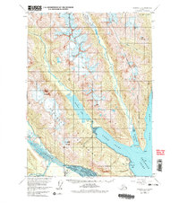
1954 Map of Skagway B-2
USGS Topo · Published 1978About this map
Glacial valleys and deep tidal waters define this 1954 landscape near the junction of several critical Alaskan waterways. The map shows the Chilkat River and Kicking Horse River meeting in a wide, braided delta while the Haines Highway follows the western shore of the Chilkoot Inlet. Notable cultural landmarks include the Yindas Tuki Indian Res and the Chilkoot Cem located near the southern tip of the peninsula.
Find a feature on this map
34 named features on this map. Tap any name to fly to it.
Don’t see what you’re looking for? This feature index may not catch every label — zoom into the map to look around manually.
Map Details
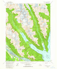
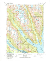
Editions of this 1954 Skagway B-2 Map
4 editions found

Other maps of this area

1948 · Skagway C-3
USGS Topo · 1:63,360

1948 · Skagway C-2
USGS Topo · 1:63,360

1948 · Skagway A-1
USGS Topo · 1:63,360

1948 · Skagway C-1
USGS Topo · 1:63,360

1949 · Skagway B-1
USGS Topo · 1:63,360

1951 · Skagway A-1
USGS Topo · 1:63,360

1951 · Skagway C-1
USGS Topo · 1:63,360

1951 · Skagway B-1
USGS Topo · 1:63,360

1951 · Skagway C-2
USGS Topo · 1:63,360

1952 · Skagway
USGS Topo · 1:250,000