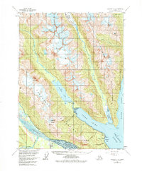
1954 Map of Skagway B-2
USGS Topo · Published 1978About this map
Chilkoot Lake and the surrounding Takshanuk Mountains define this coastal landscape near the head of the Lynn Canal. In the mid-1950s, the area's geography was a complex network of glacial melt and tidal inlets, with the Chilkat River and Takhin River creating a braided delta system in the southwest. Local infrastructure was concentrated along the Haines Highway and a prominent Pipeline corridor, reflecting the strategic and industrial transit needs of the era.
Find a feature on this map
36 named features on this map. Tap any name to fly to it.
Don’t see what you’re looking for? This feature index may not catch every label — zoom into the map to look around manually.
Map Details
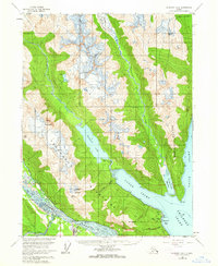
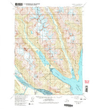
Editions of this 1954 Skagway B-2 Map
4 editions found

Other maps of this area

1948 · Skagway C-3
USGS Topo · 1:63,360

1948 · Skagway C-2
USGS Topo · 1:63,360

1948 · Skagway A-1
USGS Topo · 1:63,360

1948 · Skagway C-1
USGS Topo · 1:63,360

1949 · Skagway B-1
USGS Topo · 1:63,360

1951 · Skagway A-1
USGS Topo · 1:63,360

1951 · Skagway C-1
USGS Topo · 1:63,360

1951 · Skagway B-1
USGS Topo · 1:63,360

1951 · Skagway C-2
USGS Topo · 1:63,360

1952 · Skagway
USGS Topo · 1:250,000