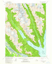
1954 Map of Skagway B-2
USGS Topo · Published 1964About this map
Lutak Inlet and the Chilkoot River corridor define this coastal landscape near the upper reaches of the Lynn Canal. In the mid-1950s, the area's geography was a mix of glacial runoff and developing infrastructure, notably the Haines Highway and a Pipeline tracing the western shore of the inlet. Traditional land use is marked by the Yindastuki Indian Res and the Chilkoot Cem near the mouth of the river system.
Find a feature on this map
32 named features on this map. Tap any name to fly to it.
Don’t see what you’re looking for? This feature index may not catch every label — zoom into the map to look around manually.
Map Details
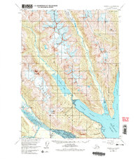
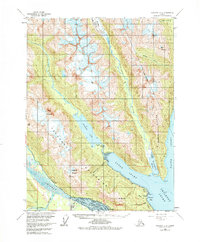
Editions of this 1954 Skagway B-2 Map
4 editions found

Other maps of this area

1948 · Skagway C-3
USGS Topo · 1:63,360

1948 · Skagway C-2
USGS Topo · 1:63,360

1948 · Skagway A-1
USGS Topo · 1:63,360

1948 · Skagway C-1
USGS Topo · 1:63,360

1949 · Skagway B-1
USGS Topo · 1:63,360

1951 · Skagway A-1
USGS Topo · 1:63,360

1951 · Skagway C-1
USGS Topo · 1:63,360

1951 · Skagway B-1
USGS Topo · 1:63,360

1951 · Skagway C-2
USGS Topo · 1:63,360

1952 · Skagway
USGS Topo · 1:250,000