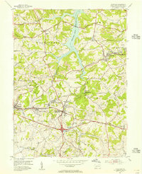
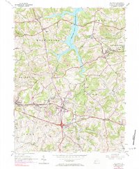
1954 Map of Slickville
USGS Topo · Published 1955About this map
Beaver Run Reservoir bisects this landscape, a prominent water body that reshaped the local topography north of Trees Mills. The 1950s map documents a region heavily influenced by the extraction industry, with extensive Strip Mines and Mine Dump areas surrounding the core settlements of Slickville and Export. These mining operations are interspersed with smaller residential hubs like White Valley and Mamont, showing the proximity of family homes to the coal works of the era.
Find a feature on this map
56 named features on this map. Tap any name to fly to it.
Don’t see what you’re looking for? This feature index may not catch every label — zoom into the map to look around manually.
Map Details
Editions of this 1954 Slickville Map
6 editions found
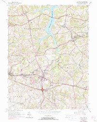
Other maps of this area

1900 · Latrobe
USGS Topo · 1:62,500

1902 · Latrobe
USGS Topo · 1:62,500

1902 · Elders Ridge
USGS Topo · 1:62,500

1903 · Latrobe
USGS Topo · 1:62,500

1904 · Elders Ridge
USGS Topo · 1:62,500

1904 · Greensburg
USGS Topo · 1:62,500

1906 · Greensburg
USGS Topo · 1:62,500

1907 · Freeport
USGS Topo · 1:62,500

1909 · Freeport
USGS Topo · 1:62,500

1953 · Pittsburgh
USGS Topo · 1:250,000