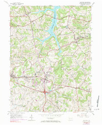
1954 Map of Slickville
USGS Topo · Published 1977About this map
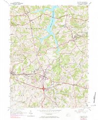
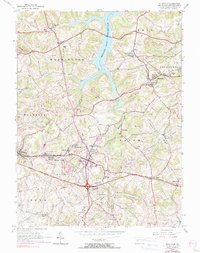
Slickville serves as a primary hub of settlement and industry in this Westmoreland County landscape, defined by a distinct transition from traditional agricultural patterns to extensive extraction. The topography is deeply marked by numerous Strip Mine operations that flank the communities of White Valley and Export, while an extensive network of Gas Wells punctuates the southern half of the quadrangle. Transport infrastructure is a central theme, with the prominent William Penn Highway cutting through Delmont and several segments of Old Railroad Grade hinting at earlier industrial corridors now surpassed by the Penn Central rail line.
Find a feature on this map
46 named features on this map. Tap any name to fly to it.
Don’t see what you’re looking for? This feature index may not catch every label — zoom into the map to look around manually.
Map Details
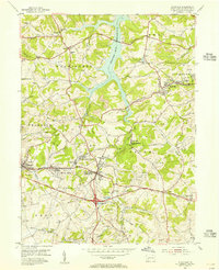
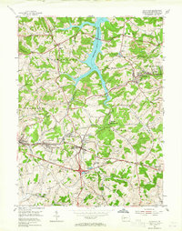
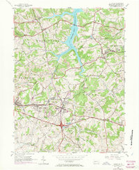
Editions of this 1954 Slickville Map
6 editions found
Other maps of this area

1900 · Latrobe
USGS Topo · 1:62,500

1902 · Latrobe
USGS Topo · 1:62,500

1902 · Elders Ridge
USGS Topo · 1:62,500

1903 · Latrobe
USGS Topo · 1:62,500

1904 · Elders Ridge
USGS Topo · 1:62,500

1904 · Greensburg
USGS Topo · 1:62,500

1906 · Greensburg
USGS Topo · 1:62,500

1907 · Freeport
USGS Topo · 1:62,500

1909 · Freeport
USGS Topo · 1:62,500

1953 · Pittsburgh
USGS Topo · 1:250,000