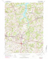
1954 Map of Slickville
USGS Topo · Published 1984About this map
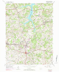
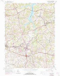
Slickville sits at the heart of this landscape where the extraction economy meets the expanding infrastructure of Westmoreland County. The terrain is deeply marked by extensive Strip Mines and numerous Gas Wells, reflecting the region’s industrial character during the mid-20th century. Cultural hubs are clustered near old transportation routes, including the Penn Central rail line and the William Penn Highway, which passes through Delmont.
Find a feature on this map
47 named features on this map. Tap any name to fly to it.
Don’t see what you’re looking for? This feature index may not catch every label — zoom into the map to look around manually.
Map Details
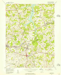
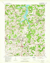
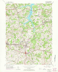
Editions of this 1954 Slickville Map
6 editions found
Other maps of this area

1900 · Latrobe
USGS Topo · 1:62,500

1902 · Latrobe
USGS Topo · 1:62,500

1902 · Elders Ridge
USGS Topo · 1:62,500

1903 · Latrobe
USGS Topo · 1:62,500

1904 · Elders Ridge
USGS Topo · 1:62,500

1904 · Greensburg
USGS Topo · 1:62,500

1906 · Greensburg
USGS Topo · 1:62,500

1907 · Freeport
USGS Topo · 1:62,500

1909 · Freeport
USGS Topo · 1:62,500

1953 · Pittsburgh
USGS Topo · 1:250,000