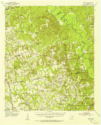
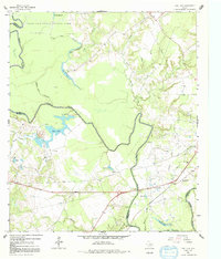
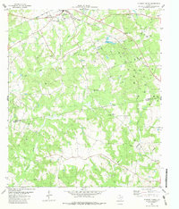
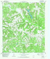
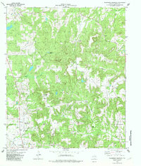
1952 Map of Slocum
USGS Topo · Published 1953This historical map portrays the area of Slocum in 1952, primarily covering Anderson County as well as portions of Houston County and Cherokee County. Featuring a scale of 1:62500, this map provides a highly detailed snapshot of the terrain, roads, buildings, counties, and historical landmarks in the Slocum region at the time. Published in 1953, it is one of 2 known editions of this map due to revisions or reprints.
Find a feature on this map
75 named features on this map. Tap any name to fly to it.
Don’t see what you’re looking for? This feature index may not catch every label — zoom into the map to look around manually.
Map Details
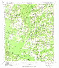
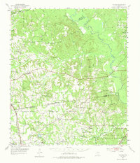
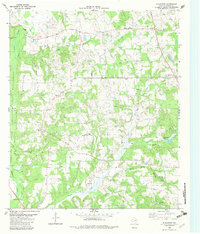
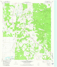
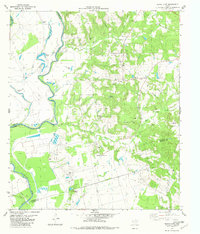
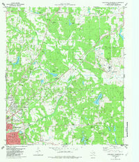
Editions of this 1952 Slocum Map
2 editions found
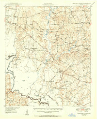
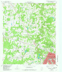
Historical Maps of Refuge Through Time
18 maps found
1949 Tennessee Colony
Anderson County, TX
1950 Tennessee Colony
Anderson County, TX
1952 Slocum
Anderson County, TX
1964 Long Lake
Anderson County, TX
1982 Blackfoot
Anderson County, TX
1982 Cayuga
Anderson County, TX
1982 Denson Springs
Anderson County, TX
1982 Elkhart Creek
Anderson County, TX
1982 Indian Lake
Anderson County, TX
1982 Northeast Palestine
Anderson County, TX
1982 Northwest Palestine
Anderson County, TX
1982 Pert
Anderson County, TX
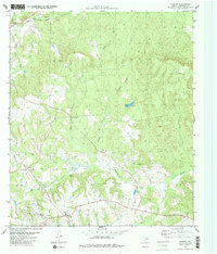
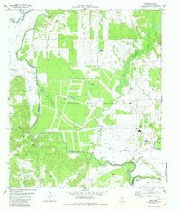
1982 Slocum
Anderson County, TX
1982 Southeast Palestine
Anderson County, TX
1982 Southwest Palestine
Anderson County, TX

1982 Tennessee Colony
Anderson County, TX
1982 Wilkerson Mountain
Anderson County, TX
1982 Yard
Anderson County, TX