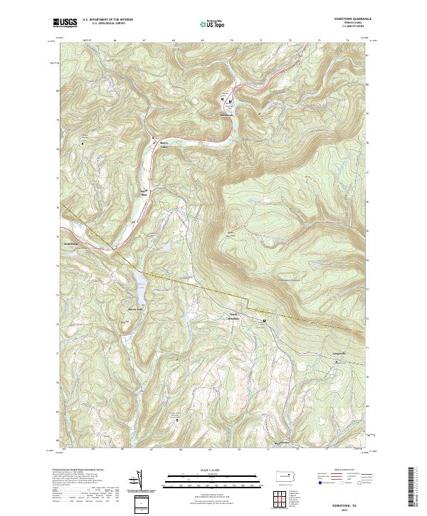
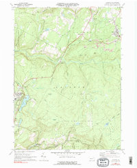
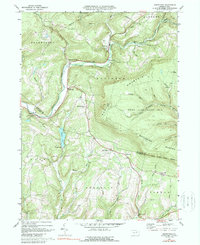
2023 Map of Sonestown
USGS Topo · Published 2023About this map
Muncy Creek and its many tributaries carve through this pocket of the Endless Mountains, where the village of Sonestown serves as a local hub. The landscape is defined by its deep hollows and high ridges, including North Mountain and Huckleberry Mountain, which historically constrained travel to the narrow valley floors. Transportation patterns are anchored by the Appalachian Throughway, following the water gaps that once facilitated the timber and tanning industries of Sullivan and Lycoming counties.
Find a feature on this map
88 named features on this map. Tap any name to fly to it.
Don’t see what you’re looking for? This feature index may not catch every label — zoom into the map to look around manually.
Map Details
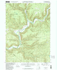
Editions of this 2023 Sonestown Map
This is the sole edition of this map. No revisions or reprints were ever made.
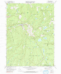
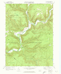
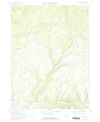
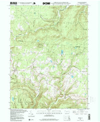
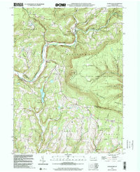
Historical Maps of Shrewsbury Township Through Time
19 maps found
1934 LaPorte
Sullivan County, PA
1953 LaPorte
Sullivan County, PA
1969 Elk Grove
Sullivan County, PA
1969 LaPorte
Sullivan County, PA
1969 Lopez
Sullivan County, PA
1970 Hillsgrove
Sullivan County, PA
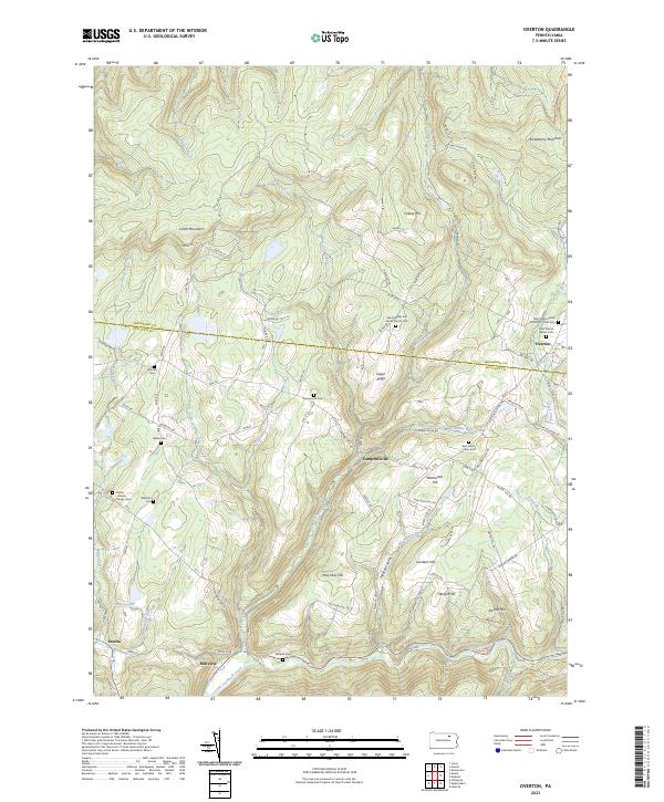
1970 Overton
Sullivan County, PA

1970 Shunk
Sullivan County, PA
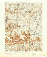
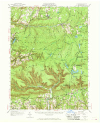
1970 Sonestown
Sullivan County, PA
1995 Hillsgrove
Sullivan County, PA
1995 Shunk
Sullivan County, PA
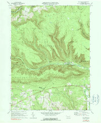
1999 Sonestown
Sullivan County, PA
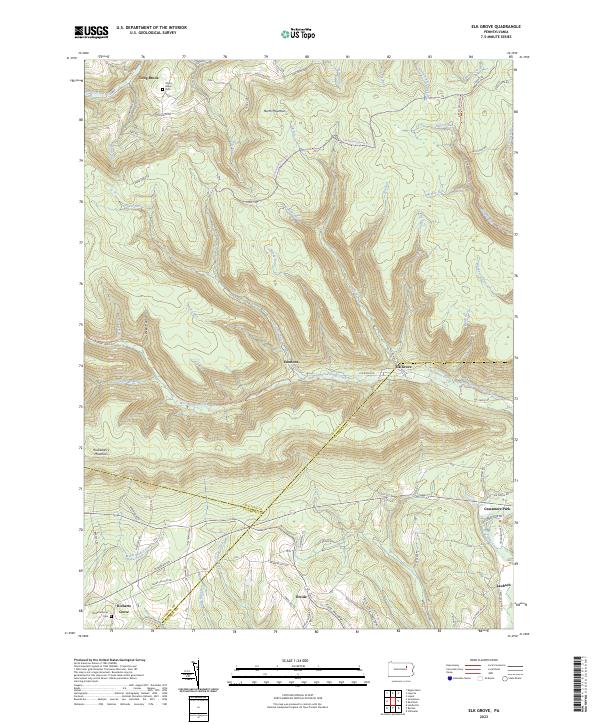
2023 Elk Grove
Sullivan County, PA
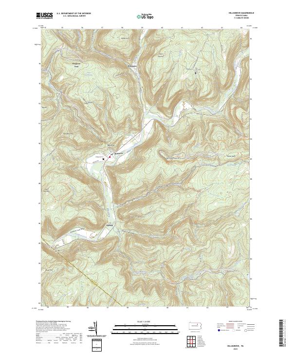
2023 Hillsgrove
Sullivan County, PA
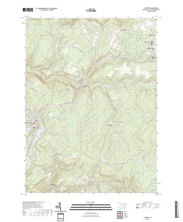
2023 Laporte
Sullivan County, PA
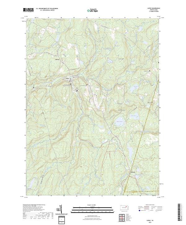
2023 Lopez
Sullivan County, PA
2023 Overton
Sullivan County, PA
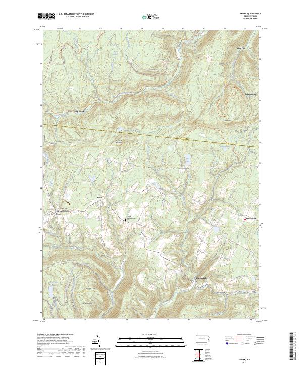
2023 Shunk
Sullivan County, PA
2023 Sonestown
Sullivan County, PA
Featured Locations
- Jordan Township, PA
- Penn Township, PA
- Franklin Township, PA
- Shrewsbury Township, PA
- Shrewsbury Township, PA