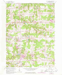
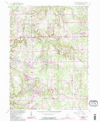
1963 Map of South Russell
USGS Topo · Published 1980About this map
Novelty and its surrounding countryside reflect the mid-century transition of Geauga County, where rural landscapes met growing suburban infrastructure. The Chagrin River and its tributaries, including Silver Creek, provide the primary drainage for this area of Russell and Bainbridge townships. Local landmarks such as the Chagrin Falls Airport and the Drive-in Theater near McFarlands Corners indicate the mid-20th-century cultural landscape, while institutions like the County Home and several community cemeteries, including Munn Cem and Morton Cem, offer significant detail for genealogical research.
Find a feature on this map
55 named features on this map. Tap any name to fly to it.
Don’t see what you’re looking for? This feature index may not catch every label — zoom into the map to look around manually.
Map Details
Editions of this 1963 South Russell Map
5 editions found
Other maps of this area

1904 · Chardon
USGS Topo · 1:62,500

1905 · Garrettsville
USGS Topo · 1:62,500

1905 · Mentor
USGS Topo · 1:62,500

1906 · Chardon
USGS Topo · 1:62,500

1906 · Chagrin Falls
USGS Topo · 1:62,500

1907 · Garrettsville
USGS Topo · 1:62,500

1907 · Mentor
USGS Topo · 1:62,500

1908 · Chagrin Falls
USGS Topo · 1:62,500

1950 · Cleveland
USGS Topo · 1:250,000

1953 · Chardon
USGS Topo · 1:24,000