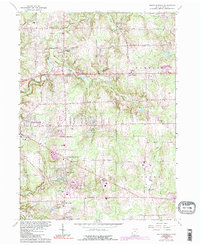
1963 Map of South Russell
USGS Topo · Published 1991About this map
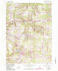
The Chagrin River carves through this portion of Geauga County, anchoring a landscape defined by small lakeside communities and early suburban expansion in the early 1960s. Rural crossroads like Novelty and Russell Center appear alongside emerging residential clusters near Lake Lucerne and South Russell. The map documents a significant concentration of educational and social institutions, from the Kenston High School and Gardiner School to specialized sites like the Red Raider Camp and a Drive-in Theater. Genealogists will find notable value in the clearly marked Riverview Cemetery, Fairmount Cemetery, and South Russell Cemetery. This survey captures the transition from traditional farmsteads to a recreation-oriented residential area, evidenced by numerous small water bodies such as Paw Paw Lake and Lake Louise dotted throughout the townships of Russell and Bainbridge.
Find a feature on this map
52 named features on this map. Tap any name to fly to it.
Don’t see what you’re looking for? This feature index may not catch every label — zoom into the map to look around manually.
Map Details
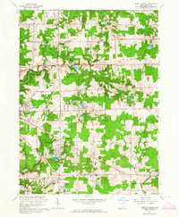
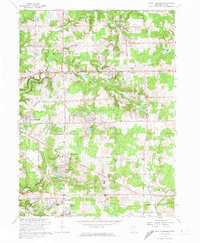
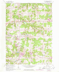
Editions of this 1963 South Russell Map
5 editions found
Other maps of this area

1904 · Chardon
USGS Topo · 1:62,500

1905 · Garrettsville
USGS Topo · 1:62,500

1905 · Mentor
USGS Topo · 1:62,500

1906 · Chardon
USGS Topo · 1:62,500

1906 · Chagrin Falls
USGS Topo · 1:62,500

1907 · Garrettsville
USGS Topo · 1:62,500

1907 · Mentor
USGS Topo · 1:62,500

1908 · Chagrin Falls
USGS Topo · 1:62,500

1950 · Cleveland
USGS Topo · 1:250,000

1953 · Chardon
USGS Topo · 1:24,000