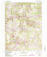
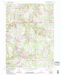
1963 Map of South Russell
USGS Topo · Published 1984About this map
Russell and Bainbridge townships showcase a post-war transition from rural landscapes to suburban residential developments within the Connecticut Western Reserve. The Chagrin River meanders through the western portion of the quadrangle, where settlements like Novelty PO and Fullertown mark established crossroads. The mid-century character of the area is evident in the cluster of educational and social landmarks, including Westwood Sch, Kenston High Sch, and a Drive-in Theater near the South Russell corporate boundary.
Find a feature on this map
51 named features on this map. Tap any name to fly to it.
Don’t see what you’re looking for? This feature index may not catch every label — zoom into the map to look around manually.
Map Details
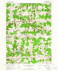
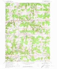
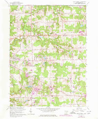
Editions of this 1963 South Russell Map
5 editions found
Other maps of this area

1904 · Chardon
USGS Topo · 1:62,500

1905 · Garrettsville
USGS Topo · 1:62,500

1905 · Mentor
USGS Topo · 1:62,500

1906 · Chardon
USGS Topo · 1:62,500

1906 · Chagrin Falls
USGS Topo · 1:62,500

1907 · Garrettsville
USGS Topo · 1:62,500

1907 · Mentor
USGS Topo · 1:62,500

1908 · Chagrin Falls
USGS Topo · 1:62,500

1950 · Cleveland
USGS Topo · 1:250,000

1953 · Chardon
USGS Topo · 1:24,000