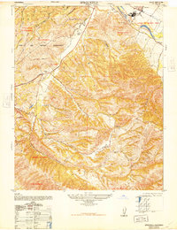
1947 Map of Spreckels
USGS Topo · Published 1948About this map
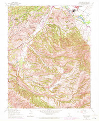
Spreckels serves as the industrial anchor for this 1947 landscape, dominated by the sugar beet industry and the nearby Salinas River. The town's grid is clearly defined alongside settling ponds and a pumping station, illustrating the heavy infrastructure required for large-scale agricultural processing. To the west, the extensive Fort Ord Military Reservation covers a significant portion of the terrain, marked by a network of ridges such as Pilarcitos Ridge and tactical landmarks like Jacks Ranger Station.
Find a feature on this map
43 named features on this map. Tap any name to fly to it.
Don’t see what you’re looking for? This feature index may not catch every label — zoom into the map to look around manually.
Map Details
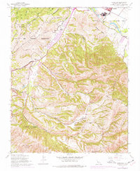
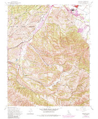
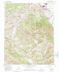
Editions of this 1947 Spreckels Map
8 editions found
Other maps of this area

1910 · Salinas
USGS Topo · 1:31,680

1912 · Salinas
USGS Topo · 1:62,500

1913 · Monterey
USGS Topo · 1:62,500

1918 · Point Sur
USGS Topo · 1:62,500

1920 · Jamesburg
USGS Topo · 1:48,000

1921 · Jamesburg
USGS Topo · 1:62,500

1925 · Point Sur
USGS Topo · 1:62,500

1939 · Jamesburg
USGS Topo · 1:62,500

1940 · Salinas
USGS Topo · 1:62,500

1940 · Jamesburg
USGS Topo · 1:62,500