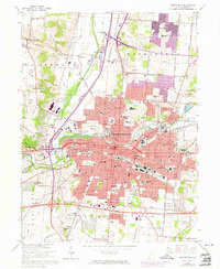
1966 Map of Springfield
USGS Topo · Published 1974About this map
Springfield serves as a major industrial and transit hub in the mid-1960s, defined by the convergence of the Erie-Lackawanna, Penn Central, and Detroit Toledo and Ironton railroads. The urban landscape is densely packed with educational and civic institutions, including the campus of Wittenberg University and numerous schools like Roosevelt Jr High Sch and Schaefer Jr High Sch. The presence of the Fairgrounds and Municipal Stadium adjacent to the downtown core reflects the city's role as a regional center for Clark County.
Find a feature on this map
84 named features on this map. Tap any name to fly to it.
Don’t see what you’re looking for? This feature index may not catch every label — zoom into the map to look around manually.
Map Details
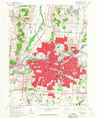
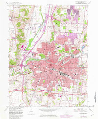
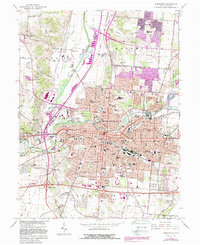
Editions of this 1966 Springfield Map
4 editions found
Other maps of this area

1904 · Springfield
USGS Topo · 1:62,500

1906 · Springfield
USGS Topo · 1:62,500

1907 · South Charleston
USGS Topo · 1:62,500

1914 · St. Paris
USGS Topo · 1:62,500

1914 · Mechanicsburg
USGS Topo · 1:62,500

1916 · Mechanicsburg
USGS Topo · 1:62,500

1916 · St. Paris
USGS Topo · 1:62,500

1944 · Mechanicsburg
USGS Topo · 1:62,500

1944 · St. Paris
USGS Topo · 1:62,500

1947 · Columbus
USGS Topo · 1:250,000
Featured Places
- Springfield, OH
- Forest Hills, OH
- Locustgrove, OH
- Kenwood Heights, Springfield
- Home Orchards, Springfield