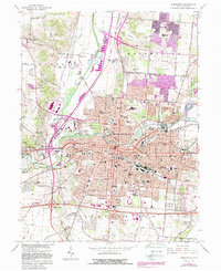
1966 Map of Springfield
USGS Topo · Published 1988About this map
Springfield sits at the confluence of the Mad River and Buck Creek, serving as a dense industrial and educational hub in the mid-1960s. The presence of Wittenberg University and the expansive Ferncliff Cemetery anchor the north-central district, while the Conrail lines weave through the urban core, illustrating the city's role as a rail crossroads. Beyond the downtown grid, the landscape transitions into satellite settlements like Eagle City and Lawrenceville, with the western reaches defined by the sprawling grounds of the Masonic Home and the recreation areas at Snyder Park.
Find a feature on this map
137 named features on this map. Tap any name to fly to it.
Don’t see what you’re looking for? This feature index may not catch every label — zoom into the map to look around manually.
Map Details
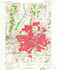
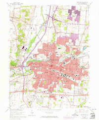
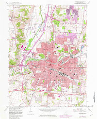
Editions of this 1966 Springfield Map
4 editions found
Other maps of this area

1904 · Springfield
USGS Topo · 1:62,500

1906 · Springfield
USGS Topo · 1:62,500

1907 · South Charleston
USGS Topo · 1:62,500

1914 · St. Paris
USGS Topo · 1:62,500

1914 · Mechanicsburg
USGS Topo · 1:62,500

1916 · Mechanicsburg
USGS Topo · 1:62,500

1916 · St. Paris
USGS Topo · 1:62,500

1944 · Mechanicsburg
USGS Topo · 1:62,500

1944 · St. Paris
USGS Topo · 1:62,500

1947 · Columbus
USGS Topo · 1:250,000
Featured Places
- Springfield, OH
- Forest Hills, OH
- Locustgrove, OH
- Kenwood Heights, Springfield
- Home Orchards, Springfield