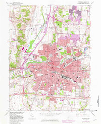
1966 Map of Springfield
USGS Topo · Published 1982About this map
Springfield and its industrial and residential sprawl dominate this mid-century landscape, centered at the confluence of Buck Creek and the Mad River. The urban core is dense with civic infrastructure, including City Hall, the Courthouse, and Wittenberg University, while peripheral growth is marked in purple revisions from the early 1980s. To the north and west, smaller settlements like Lawrenceville and Eagle City maintain a distinct identity amidst the expanding suburbs of Northridge and Sunnyland.
Find a feature on this map
127 named features on this map. Tap any name to fly to it.
Don’t see what you’re looking for? This feature index may not catch every label — zoom into the map to look around manually.
Map Details
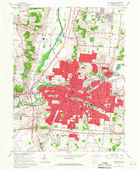
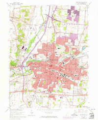
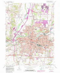
Editions of this 1966 Springfield Map
4 editions found
Other maps of this area

1904 · Springfield
USGS Topo · 1:62,500

1906 · Springfield
USGS Topo · 1:62,500

1907 · South Charleston
USGS Topo · 1:62,500

1914 · St. Paris
USGS Topo · 1:62,500

1914 · Mechanicsburg
USGS Topo · 1:62,500

1916 · Mechanicsburg
USGS Topo · 1:62,500

1916 · St. Paris
USGS Topo · 1:62,500

1944 · Mechanicsburg
USGS Topo · 1:62,500

1944 · St. Paris
USGS Topo · 1:62,500

1947 · Columbus
USGS Topo · 1:250,000
Featured Places
- Springfield, OH
- Forest Hills, OH
- Locustgrove, OH
- Kenwood Heights, Springfield
- Home Orchards, Springfield