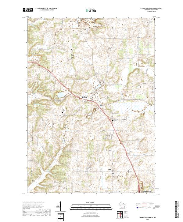
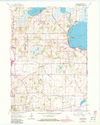
2022 Map of Springfield Corners
USGS Topo · Published 2022About this map
Small rural communities and historic churchyards characterize this corner of Dane County, where agriculture and early settlement patterns remain clearly visible. The village of Springfield Corners serves as a central point, surrounded by other long-standing hamlets such as Martinsville, Ashton, and Ashton Corners. The landscape is dotted with several significant burial grounds, including Saint John's Lutheran Cem and Saint Martin's Cem, which offer invaluable data for genealogists tracing local families.
Find a feature on this map
82 named features on this map. Tap any name to fly to it.
Don’t see what you’re looking for? This feature index may not catch every label — zoom into the map to look around manually.
Map Details
Editions of this 2022 Springfield Corners Map
This is the sole edition of this map. No revisions or reprints were ever made.
Historical Maps of Dane County Through Time
17 maps found
1959 De Forest
Dane County, WI
1959 Madison East
Dane County, WI
1959 Madison West
Dane County, WI
1961 Rutland
Dane County, WI
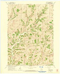
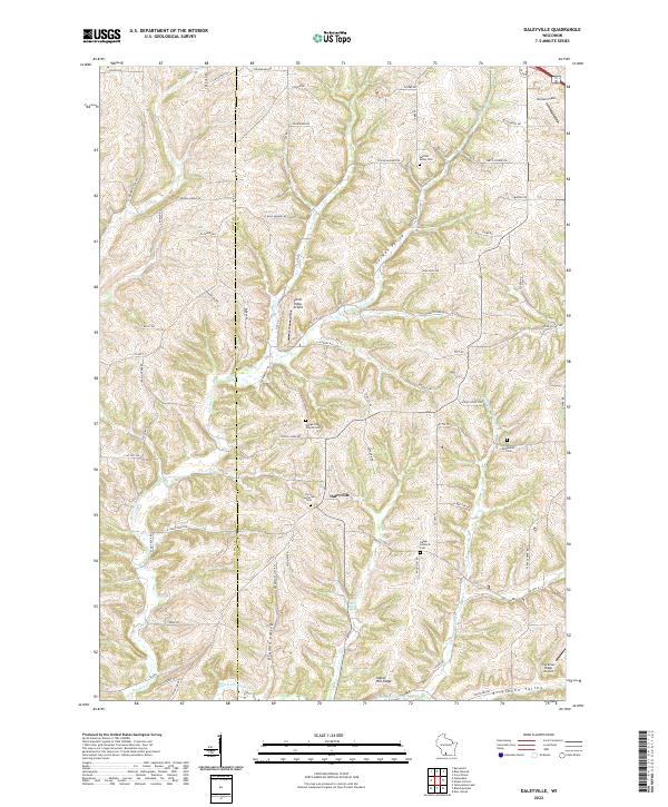
1962 Daleyville
Dane County, WI
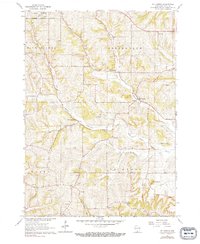
1962 Mt. Vernon
Dane County, WI
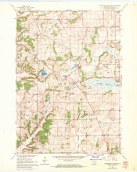
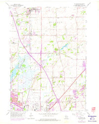
1962 Springfield Corners
Dane County, WI
1983 De Forest
Dane County, WI

1983 Madison East
Dane County, WI
1983 Madison West
Dane County, WI
2022 Daleyville
Dane County, WI
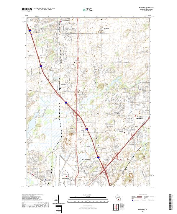
2022 De Forest
Dane County, WI
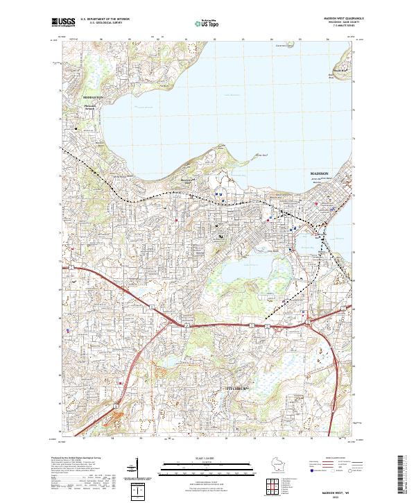
2022 Madison West
Dane County, WI
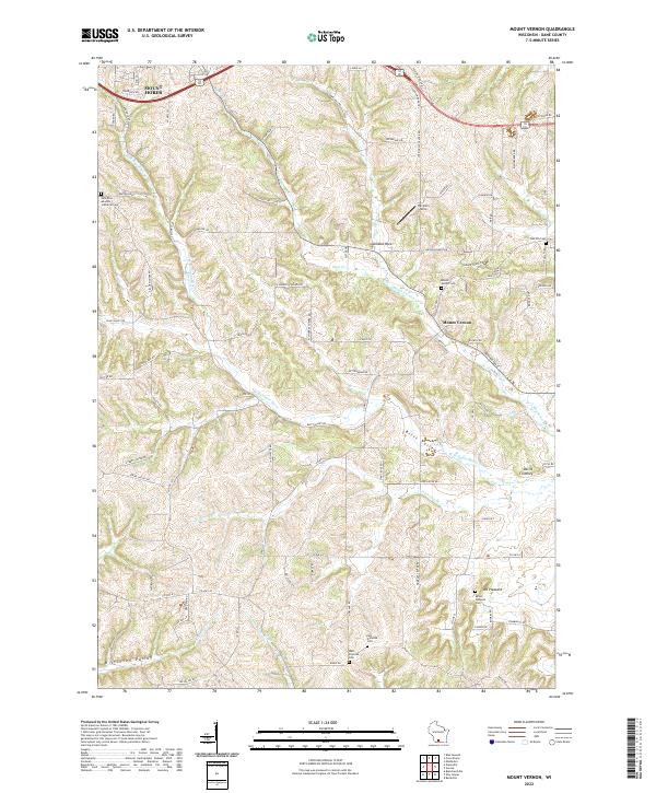
2022 Mount Vernon
Dane County, WI
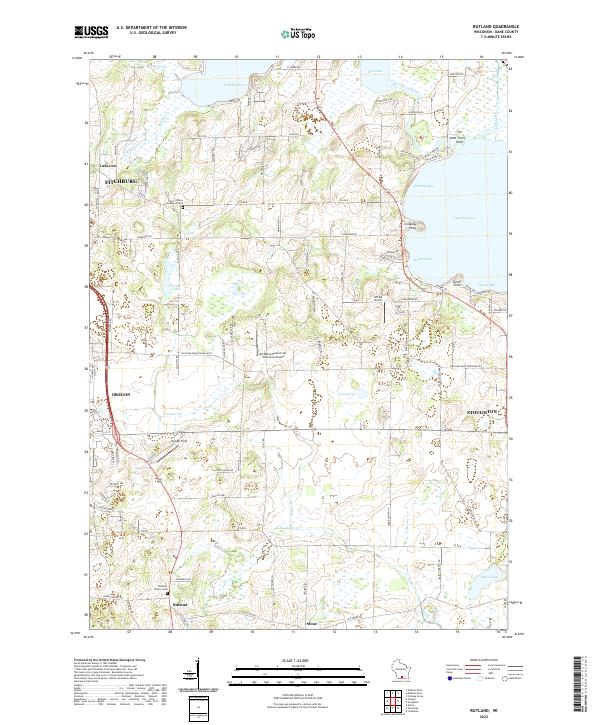
2022 Rutland
Dane County, WI
2022 Springfield Corners
Dane County, WI
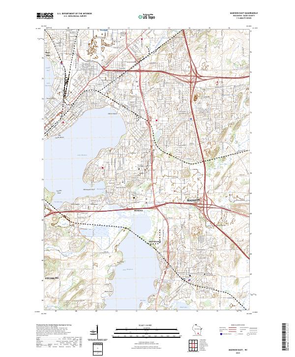
2023 Madison East
Dane County, WI