
1886 Map of Springfield
USGS Topo · Published 1896About this map
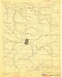
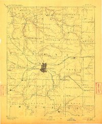
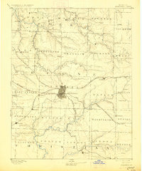
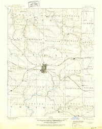
Springfield sits at the crossroads of a growing transportation network in the late nineteenth century, serving as the hub for the St. Louis and San Francisco Railroad and the Kansas City and Scott Railroad. The map reveals the early township structures across Greene, Christian, and Polk counties, where rural life revolved around dispersed settlements like Cave Spring, Fair Grove, and Pleasant Hope. Beyond the rail lines, the landscape is defined by the drainage systems of Wilson Creek, Pierson Creek, and the North Dry Sac Creek, which shaped the placement of early homesteads and mills. The inclusion of smaller communities such as Ebenezer, Stafford, and Republic provides a detailed look at the region’s development before modern expansion. Genealogists can trace the specific locations of long-standing crossroads like Morrisville and Henderson during a period of significant post-war growth in Southwest Missouri.
Find a feature on this map
68 named features on this map. Tap any name to fly to it.
Don’t see what you’re looking for? This feature index may not catch every label — zoom into the map to look around manually.
Map Details
Editions of this 1886 Springfield Map
5 editions found
Other maps of this area

1884 · Springfield
USGS Topo · 1:125,000

1884 · Bolivar
USGS Topo · 1:125,000

1886 · Stockton
USGS Topo · 1:125,000

1886 · Greenfield
USGS Topo · 1:125,000

1888 · Greenfield
USGS Topo · 1:125,000

1892 · Bolivar
USGS Topo · 1:125,000

1907 · Forsyth
USGS Topo · 1:125,000

1919 · Halltown
USGS Topo · 1:62,500

1935 · Springfield
USGS Topo · 1:24,000

1936 · Brookline
USGS Topo · 1:24,000