
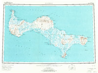
1948 Map of St Lawrence
USGS Topo · Published 1954About this map
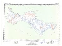
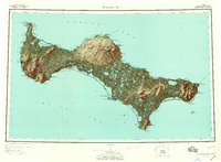
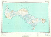
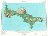
Gambell and Savoonga anchor the human presence on this remote Bering Sea island during the mid-twentieth century. The landscape is defined by seasonal camps and subsistence sites, including the Kukuliak (Old Village Site) and specialized locations like the Reindeer Camp and Corral and the Siknik Trapping Camp. Movement across the interior is meticulously documented through a network of terrestrial paths, specifically labeled as the Spring Trail, Regular Trail, and Winter Trail, reflecting the necessity of different routes as the seasons shift. Notable hydrological features such as Troutman Lake and Lake Cynthia are recorded alongside prominent coastal landmarks like Cape Sevuokuk and Puguviliak Cape. This survey provides a specialized look at the island's geography before significant modern infrastructure, focusing on indigenous land use and the maritime environment.
Find a feature on this map
80 named features on this map. Tap any name to fly to it.
Don’t see what you’re looking for? This feature index may not catch every label — zoom into the map to look around manually.
Map Details
Editions of this 1948 St Lawrence Map
7 editions found
Other maps of this area

1949 · St Lawrence
USGS Topo · 1:250,000

1964 · St Lawrence
USGS Topo · 1:250,000
2020 · Saint Lawrence A-0 NW
USGS Topo · 1:25,000
2020 · Saint Lawrence B-5 NW
USGS Topo · 1:25,000

2020 · Saint Lawrence C-4 NE
USGS Topo · 1:25,000

2020 · Saint Lawrence D-5 SW
USGS Topo · 1:25,000
2020 · Saint Lawrence B-0 NE
USGS Topo · 1:25,000

2020 · Saint Lawrence C-4 SE
USGS Topo · 1:25,000
2020 · Saint Lawrence A-2 NE
USGS Topo · 1:25,000
2020 · Saint Lawrence B-1 SE
USGS Topo · 1:25,000