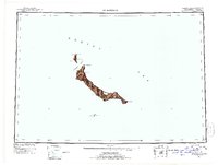
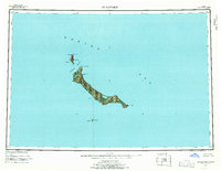
1951 Map of St Matthew
USGS Topo · Published 1952About this map
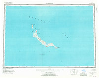
St. Matthew Island and its neighboring outcrops rise from the Bering Sea in this 1951 reconnaissance, representing the entire land area within the Bering Sea National Wildlife Refuge. The map reveals the dramatic coastal topography of this uninhabited sub-arctic landscape, from the steep cliffs of Glory of Russia Cape in the north to Cape Upright at the southeastern tip. The relief shading, derived from aerial photography taken in 1948, emphasizes the isolation of Hall Island and the needle-like profile of Pinnacle Island.
Find a feature on this map
13 named features on this map. Tap any name to fly to it.
Don’t see what you’re looking for? This feature index may not catch every label — zoom into the map to look around manually.
Map Details
Editions of this 1951 St Matthew Map
7 editions found
Other maps of this area
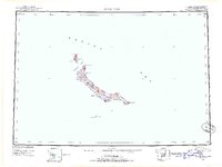
1951 · St Matthew
USGS Topo · 1:250,000

1969 · St. Matthew
USGS Topo · 1:250,000
2020 · Saint Matthew C-6 OE E SW
USGS Topo · 1:25,000
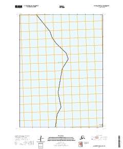
2020 · Saint Matthew C-6 SW
USGS Topo · 1:25,000
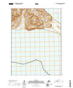
2020 · Saint Matthew B-4 SW
USGS Topo · 1:25,000
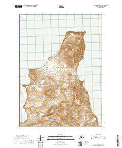
2020 · Saint Matthew C-6 SE
USGS Topo · 1:25,000
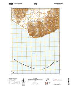
2020 · Saint Matthew B-5 SE
USGS Topo · 1:25,000
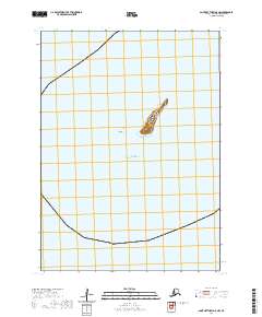
2020 · Saint Matthew A-5 NW
USGS Topo · 1:25,000
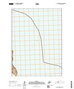
2020 · Saint Matthew C-6 NE
USGS Topo · 1:25,000
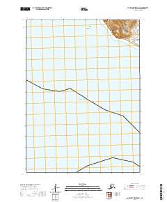
2020 · Saint Matthew B-5 SW
USGS Topo · 1:25,000