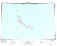
1951 Map of St Matthew
USGS Topo · Published 1961About this map
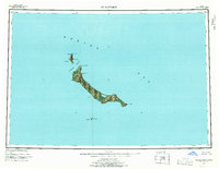
St. Matthew Island and its surrounding archipelago in the Bering Sea are documented here as part of the Bering Sea National Wildlife Refuge. This reconnaissance survey, compiled from 1948 aerial photography, provides a detailed look at the island's coastal profile and interior elevations, including the prominent Sugarloaf Mtn. The map reveals a cluster of distinct landmarks such as Cape Hall and Hall Island to the northwest, separated by the Sarichef Strait. Navigationally significant features like Elephant Rock, Bull Seal Point, and the southern Pinnacle Island are precisely positioned, reflecting the mid-century effort to map these isolated volcanic landmasses for conservation and navigation. The survey illustrates the stark isolation of the refuge, where no permanent settlements are recorded, focusing instead on the landforms like Cape Upright and Glory of Russia Cape that define this protected territory.
Find a feature on this map
15 named features on this map. Tap any name to fly to it.
Don’t see what you’re looking for? This feature index may not catch every label — zoom into the map to look around manually.
Map Details
Editions of this 1951 St Matthew Map
7 editions found
Other maps of this area
1951 · St Matthew
USGS Topo · 1:250,000

1969 · St. Matthew
USGS Topo · 1:250,000

2020 · Saint Matthew C-6 OE E SW
USGS Topo · 1:25,000
2020 · Saint Matthew C-6 SW
USGS Topo · 1:25,000
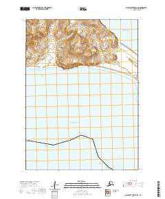
2020 · Saint Matthew B-4 SW
USGS Topo · 1:25,000
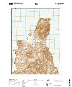
2020 · Saint Matthew C-6 SE
USGS Topo · 1:25,000
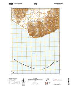
2020 · Saint Matthew B-5 SE
USGS Topo · 1:25,000

2020 · Saint Matthew A-5 NW
USGS Topo · 1:25,000
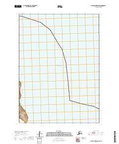
2020 · Saint Matthew C-6 NE
USGS Topo · 1:25,000
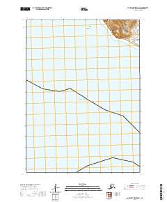
2020 · Saint Matthew B-5 SW
USGS Topo · 1:25,000