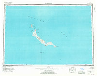
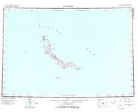
1951 Map of St Matthew
USGS Topo · Published 1969About this map
St Matthew Island and its satellite landmasses sit isolated within the Bering Sea, as documented in this 1951 survey based on 1948 aerial photography. The entire land area is contained within the Bering Sea National Wildlife Refuge, highlighting a landscape defined by preservation rather than human settlement. The island's elongated form is punctuated by prominent coastal features like Cape Upright on the southeastern tip and Glory of Russia Cape to the northwest.
Find a feature on this map
15 named features on this map. Tap any name to fly to it.
Don’t see what you’re looking for? This feature index may not catch every label — zoom into the map to look around manually.
Map Details
Editions of this 1951 St Matthew Map
7 editions found
Other maps of this area
1951 · St Matthew
USGS Topo · 1:250,000

1969 · St. Matthew
USGS Topo · 1:250,000
2020 · Saint Matthew C-6 OE E SW
USGS Topo · 1:25,000
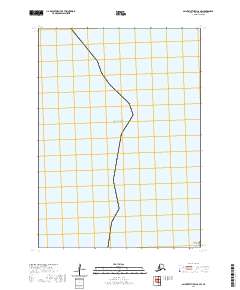
2020 · Saint Matthew C-6 SW
USGS Topo · 1:25,000
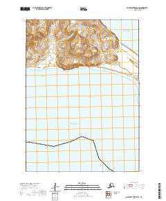
2020 · Saint Matthew B-4 SW
USGS Topo · 1:25,000
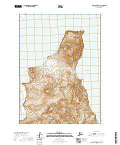
2020 · Saint Matthew C-6 SE
USGS Topo · 1:25,000
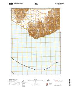
2020 · Saint Matthew B-5 SE
USGS Topo · 1:25,000
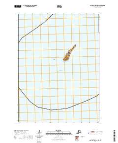
2020 · Saint Matthew A-5 NW
USGS Topo · 1:25,000
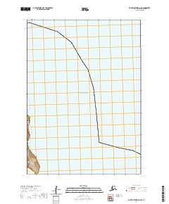
2020 · Saint Matthew C-6 NE
USGS Topo · 1:25,000
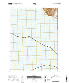
2020 · Saint Matthew B-5 SW
USGS Topo · 1:25,000