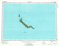
1951 Map of St Matthew
USGS Topo · Published 1969About this map
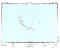
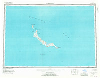
St. Matthew Island and its nearby outliers stand isolated in the central Bering Sea, as documented in this 1951 topographic study. Part of the Bering Sea National Wildlife Refuge, the island's landscape is defined by peaks like Sugarloaf Mtn and prominent coastal features such as Glory of Russia Cape and Cape Upright. To the north, Hall Island is separated by the narrow Sarichef Strait, while the jagged spire of Pinnacle Island rises to the south. These islands are devoid of human settlements, roads, or trails, reflecting a wilderness state where landforms like Bull Seal Point and Elephant Rock serve as the only landmarks. The survey, based on 1948 aerial photography, provides a precise record of the shoreline and volcanic topography of one of the most distant reaches of Alaska.
Find a feature on this map
15 named features on this map. Tap any name to fly to it.
Don’t see what you’re looking for? This feature index may not catch every label — zoom into the map to look around manually.
Map Details
Editions of this 1951 St Matthew Map
7 editions found
Other maps of this area
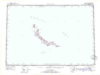
1951 · St Matthew
USGS Topo · 1:250,000

1969 · St. Matthew
USGS Topo · 1:250,000
2020 · Saint Matthew C-6 OE E SW
USGS Topo · 1:25,000
2020 · Saint Matthew C-6 SW
USGS Topo · 1:25,000
2020 · Saint Matthew B-4 SW
USGS Topo · 1:25,000
2020 · Saint Matthew C-6 SE
USGS Topo · 1:25,000
2020 · Saint Matthew B-5 SE
USGS Topo · 1:25,000
2020 · Saint Matthew A-5 NW
USGS Topo · 1:25,000
2020 · Saint Matthew C-6 NE
USGS Topo · 1:25,000
2020 · Saint Matthew B-5 SW
USGS Topo · 1:25,000