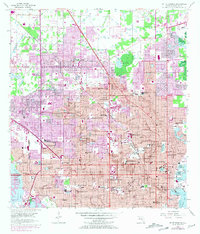
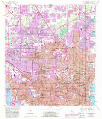
1956 Map of St. Petersburg
USGS Topo · Published 1970About this map
St Petersburg stands as the central hub of this mid-century survey, flanked by developing suburbs like Pinellas Park and Lealman. The map documents a period of rapid post-war expansion into the peninsula, with purple-tinted revisions from 1969 showing the spread of residential neighborhoods and the complex network of municipal services, including the Sewage Disposal plant and numerous trailer parks. The aviation history of the region is anchored by Whitted Airport on the edge of Bayboro Harbor, while the interior is dotted with local landmarks like Mirror Lake, Crescent Lake, and the campus of St Petersburg Jr College.
Find a feature on this map
87 named features on this map. Tap any name to fly to it.
Don’t see what you’re looking for? This feature index may not catch every label — zoom into the map to look around manually.
Map Details
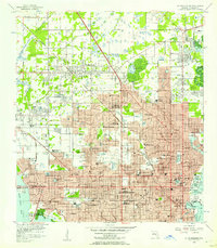
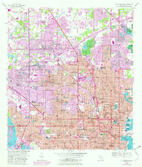
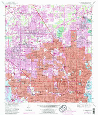
Editions of this 1956 St. Petersburg Map
5 editions found
Other maps of this area

1921 · Sand Key
USGS Topo · 1:62,500

1921 · Fort De Soto
USGS Topo · 1:62,500

1921 · St Petersburg
USGS Topo · 1:62,500

1942 · Cockroach Bay
USGS Topo · 1:31,680

1943 · St Petersburg
USGS Topo · 1:31,680

1943 · Gandy Bridge
USGS Topo · 1:31,680

1943 · Pass-A-Grille
USGS Topo · 1:31,680

1943 · Bay Pines
USGS Topo · 1:31,680

1943 · Safety Harbor
USGS Topo · 1:31,680

1943 · Port Tampa
USGS Topo · 1:31,680