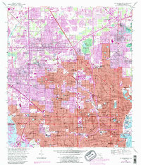
1956 Map of St Petersburg
USGS Topo · Published 1988About this map
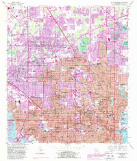
St Petersburg dominates the peninsula in the late 1950s, showing a landscape defined by rapid residential expansion and its maritime geography between Boca Ciega Bay and Tampa Bay. This photorevised edition captures the intensification of local infrastructure, from the prominent Albert Whitted Airport on the harbor to the numerous educational facilities like St Petersburg Jr College and Farragut Academy. The map reveals the intricate drainage and canal systems, including Saint Joes Creek and Sawgrass Lake, which were integral to developing the low-lying terrain.
Find a feature on this map
84 named features on this map. Tap any name to fly to it.
Don’t see what you’re looking for? This feature index may not catch every label — zoom into the map to look around manually.
Map Details
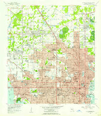
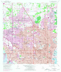
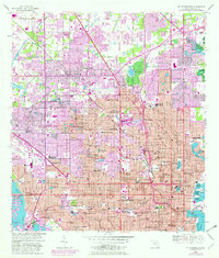
Editions of this 1956 St Petersburg Map
5 editions found
Other maps of this area

1921 · Sand Key
USGS Topo · 1:62,500

1921 · Fort De Soto
USGS Topo · 1:62,500

1921 · St Petersburg
USGS Topo · 1:62,500

1942 · Cockroach Bay
USGS Topo · 1:31,680

1943 · St Petersburg
USGS Topo · 1:31,680

1943 · Gandy Bridge
USGS Topo · 1:31,680

1943 · Pass-A-Grille
USGS Topo · 1:31,680

1943 · Bay Pines
USGS Topo · 1:31,680

1943 · Safety Harbor
USGS Topo · 1:31,680

1943 · Port Tampa
USGS Topo · 1:31,680