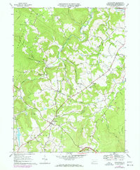
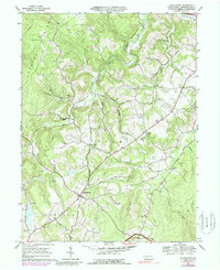
1967 Map of Stahlstown
USGS Topo · Published 1973About this map
Stahlstown and the small settlements of Mansville and Pleasant Grove anchor this 1967 Westmoreland County study, which highlights a landscape shaped by both agriculture and industry. The western edge is dominated by Chestnut Ridge, while the eastern portion transitions into the protected woodlands of Forbes State Forest. The local economy is represented by the Weaver Mill on Loyalhanna Creek and active Strip Mine operations, alongside local social centers like the Ligonier Country Club and Camp Wesco. Numerous small streams, including Fourmile Run and Powdermill Run, carve through the townships of Cook, Ligonier, and Donegal. Local history is preserved through the naming of rural schools like the Enoch Stahl Sch and several country cemeteries, including Snowball Cem and Porch Cem, which offer significant value for genealogical research.
Find a feature on this map
54 named features on this map. Tap any name to fly to it.
Don’t see what you’re looking for? This feature index may not catch every label — zoom into the map to look around manually.
Map Details
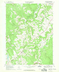
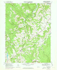
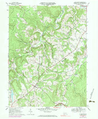
Editions of this 1967 Stahlstown Map
5 editions found
Other maps of this area

1900 · Latrobe
USGS Topo · 1:62,500

1902 · Latrobe
USGS Topo · 1:62,500

1903 · Latrobe
USGS Topo · 1:62,500

1913 · Somerset
USGS Topo · 1:62,500

1915 · Somerset
USGS Topo · 1:62,500

1920 · New Florence
USGS Topo · 1:62,500

1921 · New Florence
USGS Topo · 1:48,000

1922 · Donegal
USGS Topo · 1:62,500

1922 · New Florence
USGS Topo · 1:62,500

1935 · Donegal
USGS Topo · 1:62,500
Featured Places
- Ligonier Township, PA
- Unity Township, PA
- Pleasant Grove, Cook Township
- Cook Township, PA
- Stahlstown, Cook Township