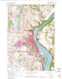
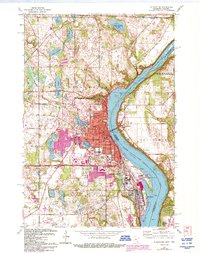
1967 Map of Stillwater
USGS Topo · Published 1981About this map
The St Croix River Lake serves as the central artery for this 1967 survey of the borderlands between Minnesota and Wisconsin, reflecting a landscape defined by its glacial lakes and riverine industry. The city of Stillwater dominates the western bank, its urban core marked by the Courthouse and City Hall, while its residential expansion is tracked through photorevisions showing growth toward Lily Lake and Lake McKusick. Across the water, the settlement of Houlton and the riverside tracks of the Chicago and North Western railroads highlight the historical importance of this corridor for regional commerce.
Find a feature on this map
60 named features on this map. Tap any name to fly to it.
Don’t see what you’re looking for? This feature index may not catch every label — zoom into the map to look around manually.
Map Details
Editions of this 1967 Stillwater Map
5 editions found
Other maps of this area

1946 · Hudson
USGS Topo · 1:62,500

1946 · River Falls
USGS Topo · 1:62,500

1948 · New Richmond
USGS Topo · 1:62,500

1948 · Stillwater
USGS Topo · 1:62,500

1949 · New Richmond
USGS Topo · 1:62,500

1949 · River Falls
USGS Topo · 1:62,500

1949 · Hudson
USGS Topo · 1:62,500

1949 · Stillwater
USGS Topo · 1:62,500

1949 · Lake Elmo
USGS Topo · 1:24,000

1949 · Hudson
USGS Topo · 1:24,000