2024 Map of Sumpter
USGS Topo · Published 2024About this map
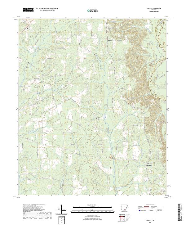
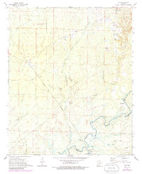
Sumpter and Pattsville anchor this southern Arkansas landscape, where the Saline River forms a significant natural boundary to the east. The terrain is defined by a dense network of tributaries including Snake Creek, Beech Creek, and Grassy Pond Creek, which feed into the larger river system. For genealogists, the map provides precise locations for family history sites such as Pattsville Cem, Mount Olive Cem, and Smyrna Cem near the settlement of Smearny. The road network consists largely of numbered county routes like Pottsville Rd and Mount Olive Rd, indicating a rural structure centered on small communities and timberlands. Notable hydrologic features like Germany Bay and Singleton Creek further illustrate the low-lying, water-rich environment of eastern Bradley County.
Find a feature on this map
76 named features on this map. Tap any name to fly to it.
Don’t see what you’re looking for? This feature index may not catch every label — zoom into the map to look around manually.
Map Details
Editions of this 2024 Sumpter Map
This is the sole edition of this map. No revisions or reprints were ever made.
Historical Maps of Mount Olive Through Time
19 maps found

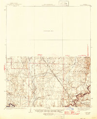
1934 Ingalls
Bradley County, AR
1937 Ingalls
Bradley County, AR

1939 Ingalls
Bradley County, AR
1971 Marsden
Bradley County, AR
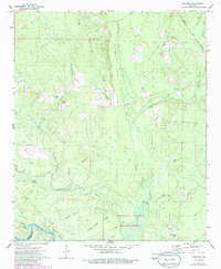
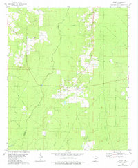
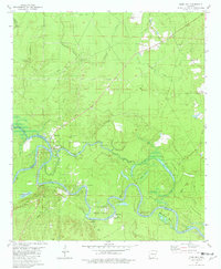
1971 Sumpter
Bradley County, AR
1971 Vick
Bradley County, AR
1973 Farmville
Bradley County, AR
1973 Mc Kinney
Bradley County, AR
1973 Warren NE
Bradley County, AR
1981 Jersey
Bradley County, AR
1981 Moro Bay
Bradley County, AR
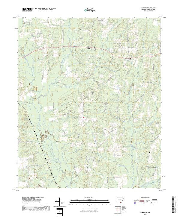
2024 Farmville
Bradley County, AR
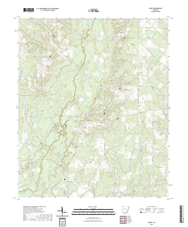
2024 Jersey
Bradley County, AR
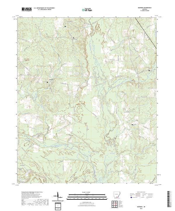
2024 Marsden
Bradley County, AR
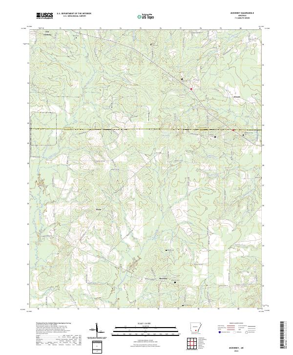
2024 McKinney
Bradley County, AR
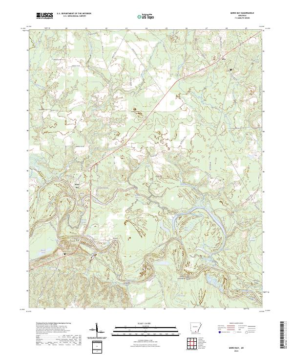
2024 Moro Bay
Bradley County, AR
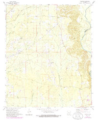
2024 Sumpter
Bradley County, AR
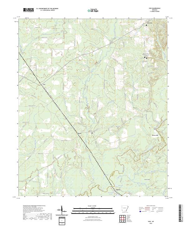
2024 Vick
Bradley County, AR
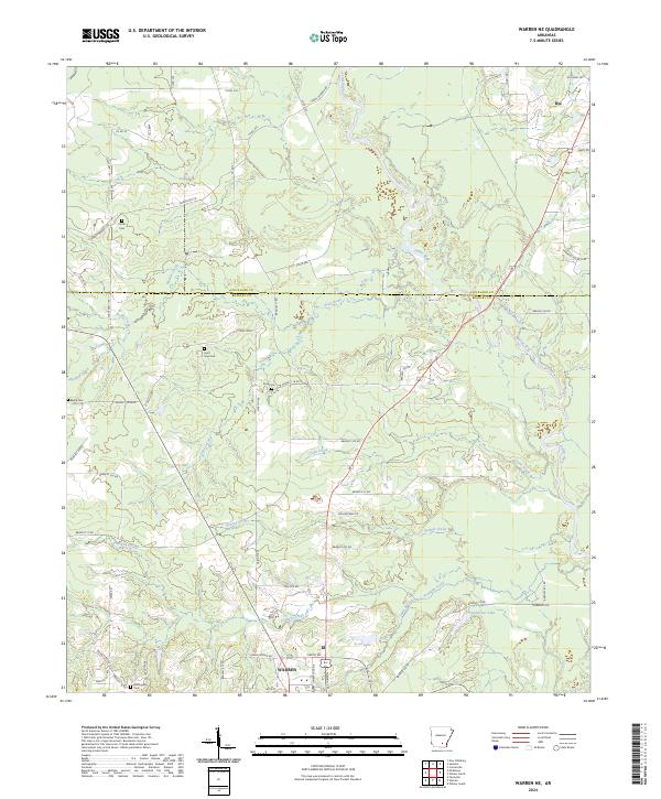
2024 Warren NE
Bradley County, AR