
1907 Map of Talbotton
USGS Topo · Published 1907About this map
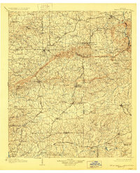
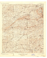
Warm Springs and its therapeutic waters anchor the north-central portion of this landscape, situated near the Warm Springs Camp Ground and the U S Fish Hatchery at Cold Spring. The 1905 survey reveals a region defined by the distinct ridges of Pine Mountain and Oak Mtn, which separate the agricultural plains of Harris and Talbot counties. Settlement patterns follow the established railroad corridors, with the Central of Georgia RR connecting communities like Bullochville and Waverly Hall, while the Talbotton RR provides a vital link to the county seat. Numerous milling sites, including Greens Mill and Hudson Mill, are situated along the dendritic drainage of Mulberry Creek and Upatoie Creek, illustrating the local water-powered economy of the era. The presence of social and educational centers like The Academy and Antioch Church reflects the established community structure in early twentieth-century Georgia.
Find a feature on this map
140 named features on this map. Tap any name to fly to it.
Don’t see what you’re looking for? This feature index may not catch every label — zoom into the map to look around manually.
Map Details
Editions of this 1907 Talbotton Map
3 editions found
Other maps of this area

1899 · Wedowee
USGS Topo · 1:125,000

1902 · Wedowee
USGS Topo · 1:125,000

1907 · Opelika
USGS Topo · 1:125,000

1908 · Columbus
USGS Topo · 1:62,500

1909 · Opelika
USGS Topo · 1:125,000

1914 · Seale
USGS Topo · 1:62,500

1929 · Columbus
USGS Topo · 1:48,000

1934 · Warm Springs
USGS Topo · 1:62,500

1935 · Thomaston
USGS Topo · 1:48,000

1936 · Warm Springs
USGS Topo · 1:62,500