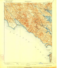
1897 Map of Tamalpais
USGS Topo · Published 1922About this map
The Marin Peninsula in the late nineteenth century is a landscape of transition between the growing bay-side rail hubs and the coastal outposts of Bolinas and Woodville. The Northwestern Pacific railroad serves as the primary artery, threading through San Rafael and Mill Valley while skirting the slopes of Mt. Tamalpais. The map details the early footprints of coastal protection and preservation, showing the Fort Barry Military Reservation guarding the entrance to the Golden Gate, and the Muir Woods National Monument tucked into the canyons. At the northern edge of the San Francisco peninsula, landmarks like the Cliff House and Golden Gate Park mark the city's westward expansion toward the Pacific Ocean. This survey, updated in the early 1920s, captures the region before heavy suburbanization, when Bolinas Lagoon and Lake Lagunitas remained the dominant features of the western backcountry.
Find a feature on this map
72 named features on this map. Tap any name to fly to it.
Don’t see what you’re looking for? This feature index may not catch every label — zoom into the map to look around manually.
Map Details
Editions of this 1897 Tamalpais Map
12 editions found

1897 edition
16.6 x 20.7 inches
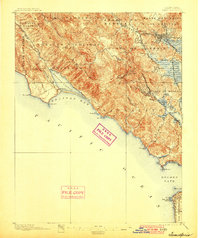
1900 edition
16.6 x 19.8 inches
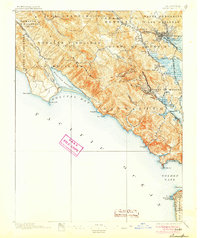
1905 edition
16.6 x 19.8 inches
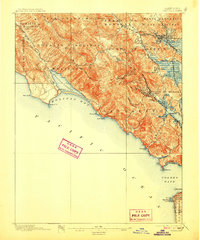
1907 edition
16.6 x 20 inches
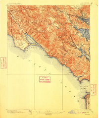
1910 edition
16.6 x 19.8 inches
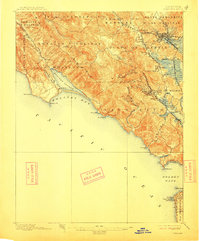
1913 edition
16.6 x 20 inches
1922 edition
16.6 x 19.9 inches
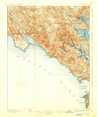
1928 edition
16.6 x 19.9 inches
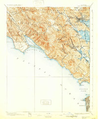
1932 edition
16.6 x 19.9 inches
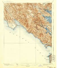
1940 edition
16.6 x 19.7 inches
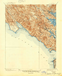
1945 edition
17 x 20.7 inches
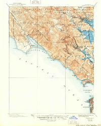
1950 edition
16.6 x 20.6 inches
Other maps of this area

1892 · San Mateo
USGS Topo · 1:62,500

1895 · San Francisco
USGS Topo · 1:62,500

1896 · San Mateo
USGS Topo · 1:62,500
1897 · Tamalpais
USGS Topo · 1:62,500

1899 · San Francisco
USGS Topo · 1:62,500

1899 · San Mateo
USGS Topo · 1:62,500

1902 · Napa
USGS Topo · 1:125,000

1914 · Petaluma
USGS Topo · 1:62,500

1915 · San Mateo
USGS Topo · 1:62,500

1915 · San Francisco
USGS Topo · 1:62,500