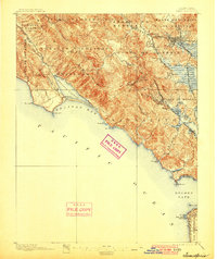
1897 Map of Tamalpais
USGS Topo · Published 1900About this map
The Marin peninsula is defined by the massive presence of Mt. Tamalpais, whose West Peak and East Peak towers over the surrounding ranchos and growing commuter settlements of the late nineteenth century. Large Spanish-era land grants like Sausalito, Corte de Madera, and Las Baulines remain the primary geographic dividers, though a modern rail network is rapidly transforming the landscape. The North Pacific Coast R. R. and San Francisco and North Pacific Ry. connect the coastal fog of Bolinas Lagoon and the rugged coastline at Pt. Bonita to the busier corridors of San Rafael. At the southern edge, across the Golden Gate, the early development of San Francisco is visible near the iconic Cliff House and Seal Rocks, capturing a period when the natural barrier of the bay was navigated only by ferry and rail.
Find a feature on this map
57 named features on this map. Tap any name to fly to it.
Don’t see what you’re looking for? This feature index may not catch every label — zoom into the map to look around manually.
Map Details
Editions of this 1897 Tamalpais Map
12 editions found

1897 edition
16.6 x 20.7 inches
1900 edition
16.6 x 19.8 inches
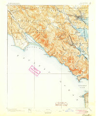
1905 edition
16.6 x 19.8 inches
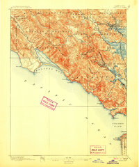
1907 edition
16.6 x 20 inches
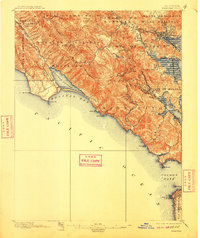
1910 edition
16.6 x 19.8 inches
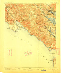
1913 edition
16.6 x 20 inches
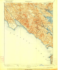
1922 edition
16.6 x 19.9 inches
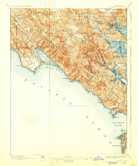
1928 edition
16.6 x 19.9 inches
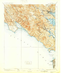
1932 edition
16.6 x 19.9 inches
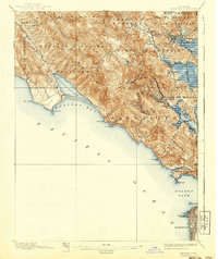
1940 edition
16.6 x 19.7 inches
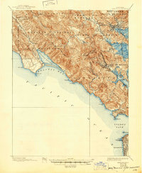
1945 edition
17 x 20.7 inches
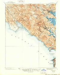
1950 edition
16.6 x 20.6 inches
Other maps of this area

1892 · San Mateo
USGS Topo · 1:62,500

1895 · San Francisco
USGS Topo · 1:62,500

1896 · San Mateo
USGS Topo · 1:62,500
1897 · Tamalpais
USGS Topo · 1:62,500

1899 · San Francisco
USGS Topo · 1:62,500

1899 · San Mateo
USGS Topo · 1:62,500

1902 · Napa
USGS Topo · 1:125,000

1914 · Petaluma
USGS Topo · 1:62,500

1915 · San Mateo
USGS Topo · 1:62,500

1915 · San Francisco
USGS Topo · 1:62,500