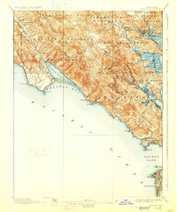
1897 Map of Tamalpais
USGS Topo · Published 1928About this map
The Marin Peninsula serves as a dramatic centerpiece in this late 19th-century survey, revealing a landscape defined by deep valleys and the coastal influence of the Pacific Ocean. Early settlements like Bolinas and Woodville are established along the Bolinas Lagoon, while the eastern side of the peninsula shows the growing rail-connected hubs of San Rafael and Mill Valley. The map documents the transition from Spanish land grants, such as San Geronimo and Corte de Madera, to modern civic designations.
Find a feature on this map
62 named features on this map. Tap any name to fly to it.
Don’t see what you’re looking for? This feature index may not catch every label — zoom into the map to look around manually.
Map Details
Editions of this 1897 Tamalpais Map
12 editions found

1897 edition
16.6 x 20.7 inches
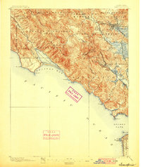
1900 edition
16.6 x 19.8 inches
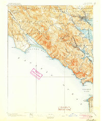
1905 edition
16.6 x 19.8 inches
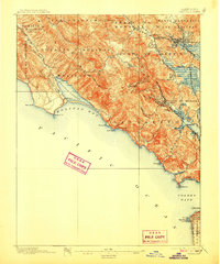
1907 edition
16.6 x 20 inches
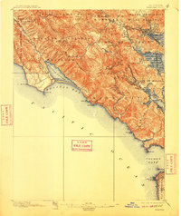
1910 edition
16.6 x 19.8 inches
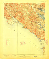
1913 edition
16.6 x 20 inches
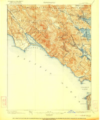
1922 edition
16.6 x 19.9 inches
1928 edition
16.6 x 19.9 inches
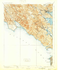
1932 edition
16.6 x 19.9 inches
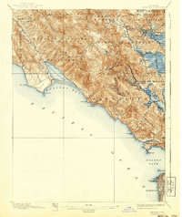
1940 edition
16.6 x 19.7 inches
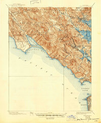
1945 edition
17 x 20.7 inches
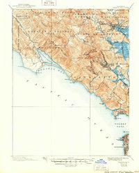
1950 edition
16.6 x 20.6 inches
Other maps of this area

1892 · San Mateo
USGS Topo · 1:62,500

1895 · San Francisco
USGS Topo · 1:62,500

1896 · San Mateo
USGS Topo · 1:62,500
1897 · Tamalpais
USGS Topo · 1:62,500

1899 · San Francisco
USGS Topo · 1:62,500

1899 · San Mateo
USGS Topo · 1:62,500

1902 · Napa
USGS Topo · 1:125,000

1914 · Petaluma
USGS Topo · 1:62,500

1915 · San Mateo
USGS Topo · 1:62,500

1915 · San Francisco
USGS Topo · 1:62,500