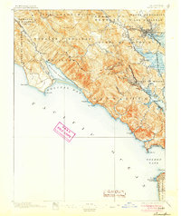
1897 Map of Tamalpais
USGS Topo · Published 1905About this map
Mt. Tamalpais anchors this coastal landscape, with its West Peak and East Peak overlooking the developing towns of Marin County during the mid-1890s. The shoreline stretches from the rugged Punta De Los Reyes down to the Golden Gate, where the Cliff House stands near the tip of San Francisco. The map reveals a complex network of transportation and early settlement, dominated by the North Pacific Coast R.R. and the San Francisco and North Pacific R.R., which connected isolated communities like Bolinas and Woodville to the regional hubs of San Rafael and Ross. The southern marshes and inlets, including Bolinas Lagoon and Tennessee Cove, remain largely undeveloped, while the inland valleys show the emerging footprints of Mill Valley and Larkspur. This survey provides a look at the peninsula's topography before the massive expansion of the Bay Area's suburban infrastructure.
Find a feature on this map
66 named features on this map. Tap any name to fly to it.
Don’t see what you’re looking for? This feature index may not catch every label — zoom into the map to look around manually.
Map Details
Editions of this 1897 Tamalpais Map
12 editions found

1897 edition
16.6 x 20.7 inches
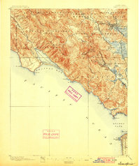
1900 edition
16.6 x 19.8 inches
1905 edition
16.6 x 19.8 inches
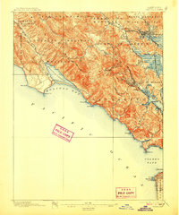
1907 edition
16.6 x 20 inches
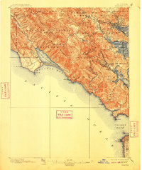
1910 edition
16.6 x 19.8 inches
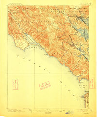
1913 edition
16.6 x 20 inches
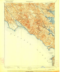
1922 edition
16.6 x 19.9 inches
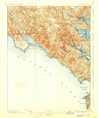
1928 edition
16.6 x 19.9 inches
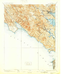
1932 edition
16.6 x 19.9 inches
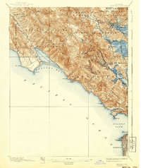
1940 edition
16.6 x 19.7 inches
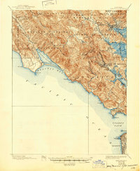
1945 edition
17 x 20.7 inches
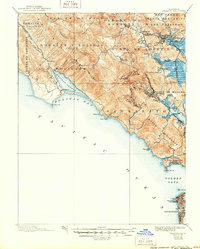
1950 edition
16.6 x 20.6 inches
Other maps of this area

1892 · San Mateo
USGS Topo · 1:62,500

1895 · San Francisco
USGS Topo · 1:62,500

1896 · San Mateo
USGS Topo · 1:62,500
1897 · Tamalpais
USGS Topo · 1:62,500

1899 · San Francisco
USGS Topo · 1:62,500

1899 · San Mateo
USGS Topo · 1:62,500

1902 · Napa
USGS Topo · 1:125,000

1914 · Petaluma
USGS Topo · 1:62,500

1915 · San Mateo
USGS Topo · 1:62,500

1915 · San Francisco
USGS Topo · 1:62,500