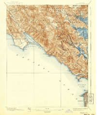
1897 Map of Tamalpais
USGS Topo · Published 1940About this map
The Marin Peninsula rises from the Golden Gate toward the dominant peaks of West Peak and East Peak in this late 19th-century survey. While the northern reaches show established towns like San Rafael and San Anselmo, the coastal side remains defined by sweeping ranchos such as Las Bolinas and Sausalito. The transit network of the era is anchored by the Northwestern Pacific railroad, which threads through the valley to serve Mill Valley and Corte Madera. Along the coastline, the Fort Barry Military Reservation guards the entrance to the bay, while the Muir Woods National Monument preserves the canyons beneath the mountain. Across the water, a small portion of San Francisco is visible, featuring landmarks like the Cliff House and the early layouts of Golden Gate Park near the Pacific shore.
Find a feature on this map
65 named features on this map. Tap any name to fly to it.
Don’t see what you’re looking for? This feature index may not catch every label — zoom into the map to look around manually.
Map Details
Editions of this 1897 Tamalpais Map
12 editions found

1897 edition
16.6 x 20.7 inches
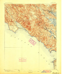
1900 edition
16.6 x 19.8 inches
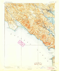
1905 edition
16.6 x 19.8 inches
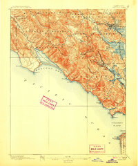
1907 edition
16.6 x 20 inches
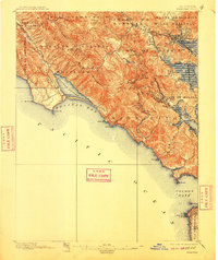
1910 edition
16.6 x 19.8 inches
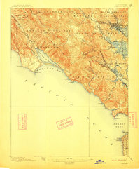
1913 edition
16.6 x 20 inches
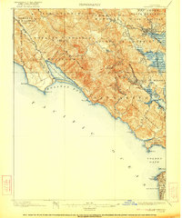
1922 edition
16.6 x 19.9 inches
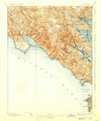
1928 edition
16.6 x 19.9 inches
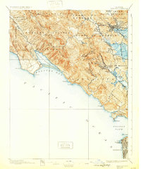
1932 edition
16.6 x 19.9 inches
1940 edition
16.6 x 19.7 inches
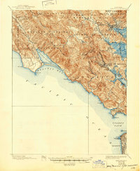
1945 edition
17 x 20.7 inches
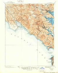
1950 edition
16.6 x 20.6 inches
Other maps of this area

1892 · San Mateo
USGS Topo · 1:62,500

1895 · San Francisco
USGS Topo · 1:62,500

1896 · San Mateo
USGS Topo · 1:62,500
1897 · Tamalpais
USGS Topo · 1:62,500

1899 · San Francisco
USGS Topo · 1:62,500

1899 · San Mateo
USGS Topo · 1:62,500

1902 · Napa
USGS Topo · 1:125,000

1914 · Petaluma
USGS Topo · 1:62,500

1915 · San Mateo
USGS Topo · 1:62,500

1915 · San Francisco
USGS Topo · 1:62,500