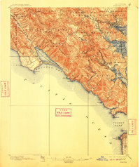
1897 Map of Tamalpais
USGS Topo · Published 1910About this map
Mt. Tamalpais dominates the coastal landscape of Marin County in this 1894-95 survey, rising above the Pacific where the Golden Gate opens toward San Francisco. The map captures a moment when the recently established Muir Woods National Monument preserved old-growth redwoods while the surrounding hills were still organized under original land grant names like Sausalito, Las Baulines, and Cañada de Herrera. Transportation networks of the late nineteenth century are clearly visible, including the rail lines connecting San Rafael to waterfront hubs like Mill Valley Junction and Reed. On the coast, maritime landmarks such as Pt. Bonita and Mile Rocks mark the entrance to the bay, while the isolated settlement of Bolinas sits at the edge of the Bolinas Lagoon. This study provides a precise record of the shoreline before the major twentieth-century infrastructure and suburban development reshaped the Marin peninsula.
Find a feature on this map
56 named features on this map. Tap any name to fly to it.
Don’t see what you’re looking for? This feature index may not catch every label — zoom into the map to look around manually.
Map Details
Editions of this 1897 Tamalpais Map
12 editions found

1897 edition
16.6 x 20.7 inches
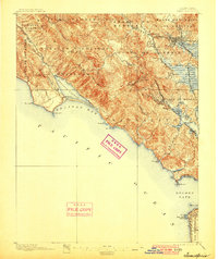
1900 edition
16.6 x 19.8 inches
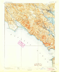
1905 edition
16.6 x 19.8 inches
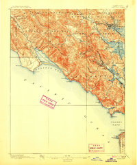
1907 edition
16.6 x 20 inches
1910 edition
16.6 x 19.8 inches
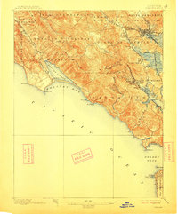
1913 edition
16.6 x 20 inches
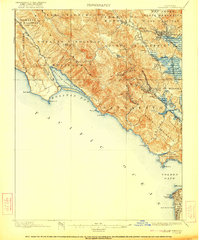
1922 edition
16.6 x 19.9 inches
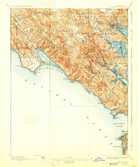
1928 edition
16.6 x 19.9 inches
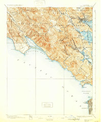
1932 edition
16.6 x 19.9 inches
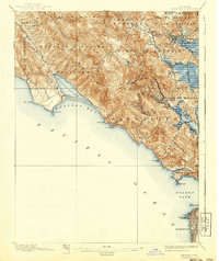
1940 edition
16.6 x 19.7 inches
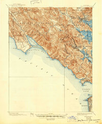
1945 edition
17 x 20.7 inches
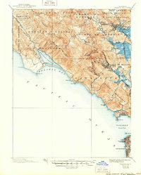
1950 edition
16.6 x 20.6 inches
Other maps of this area

1892 · San Mateo
USGS Topo · 1:62,500

1895 · San Francisco
USGS Topo · 1:62,500

1896 · San Mateo
USGS Topo · 1:62,500
1897 · Tamalpais
USGS Topo · 1:62,500

1899 · San Francisco
USGS Topo · 1:62,500

1899 · San Mateo
USGS Topo · 1:62,500

1902 · Napa
USGS Topo · 1:125,000

1914 · Petaluma
USGS Topo · 1:62,500

1915 · San Mateo
USGS Topo · 1:62,500

1915 · San Francisco
USGS Topo · 1:62,500