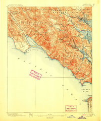
1897 Map of Tamalpais
USGS Topo · Published 1907About this map
Mt. Tamalpais dominates the coastal skyline of Marin County in this late-nineteenth-century survey, its West Peak and East Peak rising above a landscape of deep canyons and sprawling Mexican land grant boundaries. The map documents an era when rail travel was the primary connection between these coastal communities and the growing urban center to the south. The North Pacific Coast R. R. skirts the eastern shore and winds toward San Rafael, while the San Quentin R. R. and the San Francisco and North Pacific R. R. link the waterfront to inland settlements. Along the western edge, the remote village of Bolinas sits at the entrance to Bolinas Lagoon, separated from the more developed bayside by the massive Bolinas Ridge. Notable landmarks like the Cliff House and Pt. Lobos appear at the northern tip of San Francisco across the Golden Gate, providing a rare look at the entrance to the bay before modern spans were constructed.
Find a feature on this map
64 named features on this map. Tap any name to fly to it.
Don’t see what you’re looking for? This feature index may not catch every label — zoom into the map to look around manually.
Map Details
Editions of this 1897 Tamalpais Map
12 editions found

1897 edition
16.6 x 20.7 inches
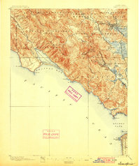
1900 edition
16.6 x 19.8 inches
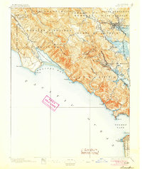
1905 edition
16.6 x 19.8 inches
1907 edition
16.6 x 20 inches
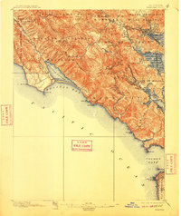
1910 edition
16.6 x 19.8 inches
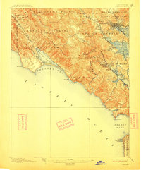
1913 edition
16.6 x 20 inches
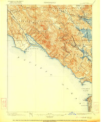
1922 edition
16.6 x 19.9 inches
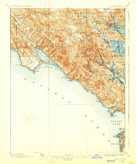
1928 edition
16.6 x 19.9 inches
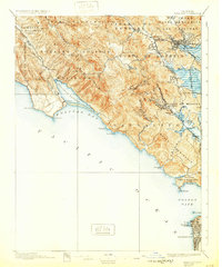
1932 edition
16.6 x 19.9 inches
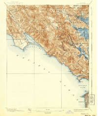
1940 edition
16.6 x 19.7 inches
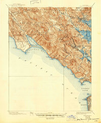
1945 edition
17 x 20.7 inches
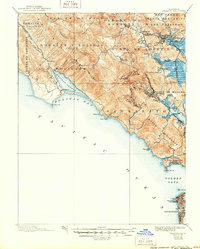
1950 edition
16.6 x 20.6 inches
Other maps of this area

1892 · San Mateo
USGS Topo · 1:62,500

1895 · San Francisco
USGS Topo · 1:62,500

1896 · San Mateo
USGS Topo · 1:62,500
1897 · Tamalpais
USGS Topo · 1:62,500

1899 · San Francisco
USGS Topo · 1:62,500

1899 · San Mateo
USGS Topo · 1:62,500

1902 · Napa
USGS Topo · 1:125,000

1914 · Petaluma
USGS Topo · 1:62,500

1915 · San Mateo
USGS Topo · 1:62,500

1915 · San Francisco
USGS Topo · 1:62,500