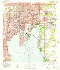
1956 Map of Tampa
USGS Topo · Published 1957About this map
Tampa is shown in a period of significant urban density and waterfront industrial activity, defined by the winding Hillsborough River and the complex channels of Hillsboro Bay. The map documents the city's multicultural heritage through numerous landmark cemeteries like Centro Asturiano Cem and Centro Espanol Cem, alongside the historic district of Ybor City. The grid of West Tampa and Palma Ceia is fully developed, while the dredged basins of Davis Islands and the industrial infrastructure at Hooker Point illustrate the city's mid-century expansion into the bay.
Find a feature on this map
102 named features on this map. Tap any name to fly to it.
Don’t see what you’re looking for? This feature index may not catch every label — zoom into the map to look around manually.
Map Details
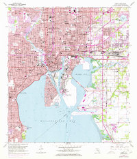
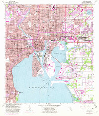
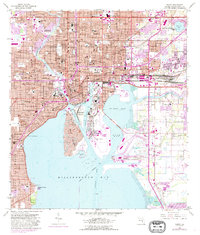
Editions of this 1956 Tampa Map
4 editions found
Other maps of this area

1921 · Tampa
USGS Topo · 1:62,500

1921 · St Petersburg
USGS Topo · 1:62,500

1943 · Gandy Bridge
USGS Topo · 1:31,680

1943 · Port Tampa
USGS Topo · 1:31,680

1943 · Thonotosassa
USGS Topo · 1:24,000

1944 · Sulphur Springs
USGS Topo · 1:31,680

1944 · Mango
USGS Topo · 1:31,680

1944 · Tampa
USGS Topo · 1:31,680

1944 · Thonotosassa
USGS Topo · 1:31,680

1944 · Balm
USGS Topo · 1:31,680